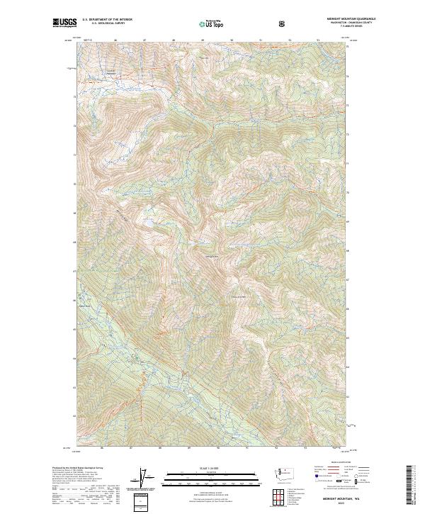
2023 Map of Midnight Mountain
USGS Topo · Published 2023About this map
Gardner Meadows and Poplar Flats provide rare level ground in this high-elevation corridor of the North Cascades. The landscape is dominated by the massive relief of the Lake Chelan-Sawtooth Wilderness and the Okanogan National Forest, where steep drainages like Wolf Creek and Canyon Creek carve deep valleys between high peaks. High-country landmarks such as Midnight Mtn, Milton Mtn, and Three A M Mtn define the horizon, connected by a network of historic forest paths including the Twisp River Trl and Abernathy Ridge. The hydrologic patterns are centered on the Twisp River in the south and the remote alpine waters of Slate Lake and Little Slate Lake, illustrating the drainage systems of the Okanogan backcountry before modern development reached these protected reaches.
Find a feature on this map
41 named features on this map. Tap any name to fly to it.
Don’t see what you’re looking for? This feature index may not catch every label — zoom into the map to look around manually.
Map Details
Editions of this 2023 Midnight Mountain Map
This is the sole edition of this map. No revisions or reprints were ever made.
Other maps of this area

1899 · Methow
USGS Topo · 1:125,000

1901 · Methow
USGS Topo · 1:125,000

1902 · Stehekin
USGS Topo · 1:125,000

1904 · Stehekin
USGS Topo · 1:125,000

1920 · Slate Pass
USGS Topo · 1:125,000

1955 · Concrete
USGS Topo · 1:250,000

1958 · Concrete
USGS Topo · 1:250,000

1962 · Concrete
USGS Topo · 1:250,000

1962 · Mazama
USGS Topo · 1:62,500

1963 · Silver Star Mtn.
USGS Topo · 1:24,000