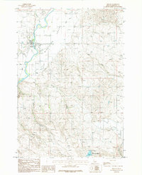
1986 Map of Midvale
USGS Topo · Published 1986About this map
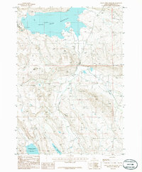
The Weiser River winds through the heart of Middle Valley, anchoring the small settlement of Midvale. This mid-1980s survey captures the agricultural and riparian character of the Idaho and Washington county borderlands, where the valley floor transitions into higher elevations. A local Cem and various irrigation ditches near the river illustrate the established farming life of the community.
Find a feature on this map
18 named features on this map. Tap any name to fly to it.
Don’t see what you’re looking for? This feature index may not catch every label — zoom into the map to look around manually.
Map Details
Editions of this 1986 Midvale Map
This is the sole edition of this map. No revisions or reprints were ever made.
Other maps of this area

1897 · Weiser
USGS Topo · 1:125,000

1953 · Mann Creek
USGS Topo · 1:62,500

1955 · Baker
USGS Topo · 1:250,000
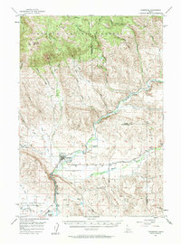
1957 · Cambridge
USGS Topo · 1:62,500
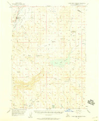
1957 · Crane Creek Reservoir
USGS Topo · 1:62,500
1957 · Sturgill Peak
USGS Topo · 1:62,500

1959 · Baker
USGS Topo · 1:250,000

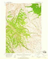
1980 · McCall
USGS Topo · 1:100,000

1980 · Weiser
USGS Topo · 1:100,000
1986 · Crane Creek Reservoir
USGS Topo · 1:24,000