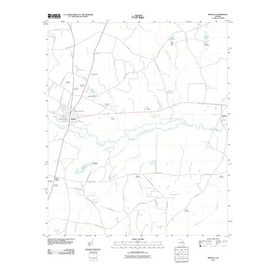
2011 Map of Midville
USGS Topo · Published 2011About this map
The Ogeechee River snakes through the central landscape of this Georgia region, creating a network of oxbows and secondary channels like the Dead River. Along the northern banks, the settlement of Midville serves as a primary hub, containing the Midville Post Office and the Midville City Cemetery. The terrain is defined by its water management and agricultural heritage, evidenced by several impoundments such as Wells Pond, McKinney Pond, and Sapp Pond.
Find a feature on this map
69 named features on this map. Tap any name to fly to it.
Don’t see what you’re looking for? This feature index may not catch every label — zoom into the map to look around manually.
Map Details
Editions of this 2011 Midville Map
This is the sole edition of this map. No revisions or reprints were ever made.
Other maps of this area

1957 · Macon
USGS Topo · 1:250,000

1958 · Macon
USGS Topo · 1:250,000

1964 · Macon
USGS Topo · 1:250,000
1971 · Garfield
USGS Topo · 1:24,000
1971 · Canoochee
USGS Topo · 1:24,000

1971 · Summertown
USGS Topo · 1:24,000
1973 · Old Town
USGS Topo · 1:24,000

1973 · Colemans Lake
USGS Topo · 1:24,000
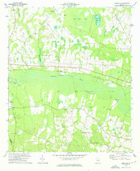
1974 · Birdsville
USGS Topo · 1:24,000
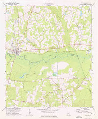
1974 · Midville
USGS Topo · 1:24,000