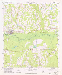
1974 Map of Midville
USGS Topo · Published 1976About this map
The Ogeechee River meanders through this landscape, defining a wide swampy corridor filled with oxbow lakes such as Parkers Lake, Boneyard Lake, and Bunns Lake. Near the confluence of Mill Creek and the river, the waterway splits into a distinctive formation known simply as The Split. This rural Georgia terrain is anchored by the town of Midville, where the Central of Georgia railroad intersects with local history at several family-named sites. Local researchers will find many rural institutions, including St Johns Ch, Lane Chapel, and the Murphree Sch. To the south, the landscape is punctuated by McKinney Pond and numerous flowing wells, indicating the importance of the local water table to the community. The map also captures an old railroad grade near Herndon, providing a clear record of the area's changing transportation infrastructure during the mid-1970s.
Find a feature on this map
47 named features on this map. Tap any name to fly to it.
Don’t see what you’re looking for? This feature index may not catch every label — zoom into the map to look around manually.
Map Details
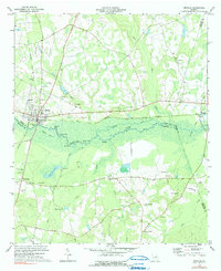
Editions of this 1974 Midville Map
2 editions found
Other maps of this area

1957 · Macon
USGS Topo · 1:250,000

1958 · Macon
USGS Topo · 1:250,000

1964 · Macon
USGS Topo · 1:250,000
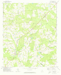
1971 · Garfield
USGS Topo · 1:24,000
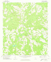
1971 · Canoochee
USGS Topo · 1:24,000

1971 · Summertown
USGS Topo · 1:24,000
1973 · Old Town
USGS Topo · 1:24,000

1973 · Colemans Lake
USGS Topo · 1:24,000
1974 · Birdsville
USGS Topo · 1:24,000
1974 · Bellevue
USGS Topo · 1:24,000