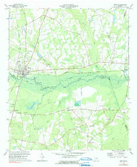
1974 Map of Midville
USGS Topo · Published 1991About this map
The Ogeechee River carves a broad, braided path through the heart of this landscape, creating a complex wetland network defined by secondary channels like the Dead River and numerous named oxbow lakes such as Bunn Lake, Parkers Lake, and Brown Lake. The town of Midville serves as the primary hub, situated where the Central of Georgia railroad intersects the river's edge. This 1974 survey captures the agrarian and industrial character of the coastal plain, where family-named cemeteries and rural institutions like the Dinkins Sch and St Johns Ch are scattered across the higher ground between the swampy basins.
Find a feature on this map
50 named features on this map. Tap any name to fly to it.
Don’t see what you’re looking for? This feature index may not catch every label — zoom into the map to look around manually.
Map Details
Editions of this 1974 Midville Map
2 editions found
Other maps of this area

1957 · Macon
USGS Topo · 1:250,000

1958 · Macon
USGS Topo · 1:250,000

1964 · Macon
USGS Topo · 1:250,000
1971 · Garfield
USGS Topo · 1:24,000
1971 · Canoochee
USGS Topo · 1:24,000

1971 · Summertown
USGS Topo · 1:24,000
1973 · Old Town
USGS Topo · 1:24,000

1973 · Colemans Lake
USGS Topo · 1:24,000
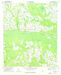
1974 · Birdsville
USGS Topo · 1:24,000
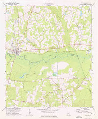
1974 · Midville
USGS Topo · 1:24,000