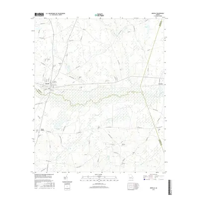
2017 Map of Midville
USGS Topo · Published 2017About this map
Midville sits at the northern edge of a dense riverine landscape where the Ogeechee River and the meandering Dead River converge. This 2017 survey reveals a region defined by its water and family heritage, with numerous burial grounds like Sherrod Cem, Brack Cem, and Midville City Cem scattered across the countryside. The geography is complex, marked by a network of cypress-laden waterways including Big Long Cr, Mill Cr, and Little Long Cr, along with distinct features such as Wig Lake and McKinney Pond. In the eastern section, the settlement of Herndon remains connected by the S Herndon RD, while to the west, the small community of Three Points sits at a rural crossroads. The map also records the jurisdictional boundaries meeting at the convergence of Burke, Jenkins, and Emanuel Counties, illustrating how natural water courses continue to shape local administrative lines.
Find a feature on this map
82 named features on this map. Tap any name to fly to it.
Don’t see what you’re looking for? This feature index may not catch every label — zoom into the map to look around manually.
Map Details
Editions of this 2017 Midville Map
This is the sole edition of this map. No revisions or reprints were ever made.
Other maps of this area

1957 · Macon
USGS Topo · 1:250,000

1958 · Macon
USGS Topo · 1:250,000

1964 · Macon
USGS Topo · 1:250,000
1971 · Garfield
USGS Topo · 1:24,000
1971 · Canoochee
USGS Topo · 1:24,000

1971 · Summertown
USGS Topo · 1:24,000
1973 · Old Town
USGS Topo · 1:24,000

1973 · Colemans Lake
USGS Topo · 1:24,000
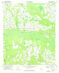
1974 · Birdsville
USGS Topo · 1:24,000
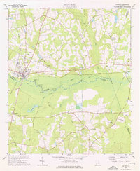
1974 · Midville
USGS Topo · 1:24,000