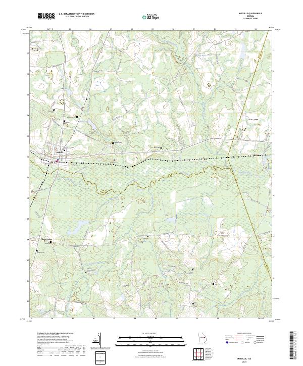
2024 Map of Midville
USGS Topo · Published 2024About this map
Midville serves as the focal point of this rural Georgia landscape, situated at the intersection of local rail lines and the wide wetlands of the Ogeechee River. The town's layout, defined by streets like N Railroad St and S Railroad St, reflects a community historically tied to the transport of timber or agricultural goods. The surrounding territory is notably dense with small family and community burial grounds, such as Murphree Cem, Nasworthy Cem, and Sycamore Cem, which provide essential markers for genealogical research in Burke and Emanuel counties.
Find a feature on this map
82 named features on this map. Tap any name to fly to it.
Don’t see what you’re looking for? This feature index may not catch every label — zoom into the map to look around manually.
Map Details
Editions of this 2024 Midville Map
This is the sole edition of this map. No revisions or reprints were ever made.
Other maps of this area

1957 · Macon
USGS Topo · 1:250,000

1958 · Macon
USGS Topo · 1:250,000

1964 · Macon
USGS Topo · 1:250,000
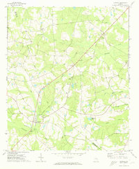
1971 · Garfield
USGS Topo · 1:24,000
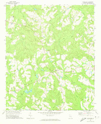
1971 · Canoochee
USGS Topo · 1:24,000

1971 · Summertown
USGS Topo · 1:24,000
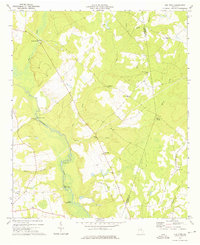
1973 · Old Town
USGS Topo · 1:24,000

1973 · Colemans Lake
USGS Topo · 1:24,000
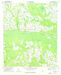
1974 · Birdsville
USGS Topo · 1:24,000
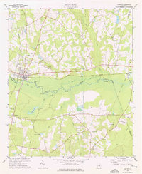
1974 · Midville
USGS Topo · 1:24,000