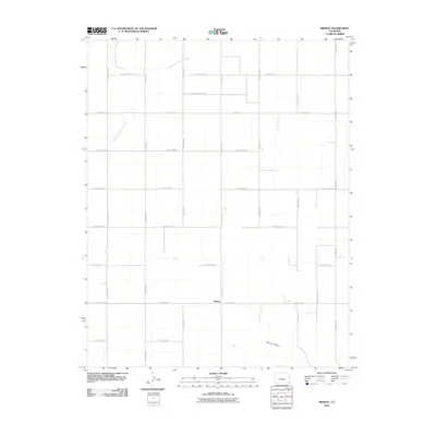
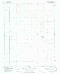
2010 Map of Midway
USGS Topo · Published 2010About this map
Midway occupies a central position within this section of the High Plains in Baca County, characterized by a rigorous grid of section lines and agricultural access routes. The North Fork Cimarron River cuts across the northwestern corner of the quadrangle, while the southern reaches are defined by the winding course of Spring Canyon. This landscape is primarily organized by an extensive network of rural thoroughfares, including County Road M and County Road S, which facilitate movement across the open plains. The sparse distribution of named features suggests a region dedicated to large-scale ranching or farming, where the natural drainage of the river and canyon provide the primary breaks in the otherwise geometric survey of the land.
Find a feature on this map
20 named features on this map. Tap any name to fly to it.
Don’t see what you’re looking for? This feature index may not catch every label — zoom into the map to look around manually.
Map Details
Editions of this 2010 Midway Map
This is the sole edition of this map. No revisions or reprints were ever made.
Other maps of this area

1892 · Vilas
USGS Topo · 1:125,000

1955 · La Junta
USGS Topo · 1:250,000

1958 · La Junta
USGS Topo · 1:250,000

1968 · La Junta
USGS Topo · 1:250,000

1978 · Walsh SE
USGS Topo · 1:24,000
1978 · Midway
USGS Topo · 1:24,000
1978 · Midway SE
USGS Topo · 1:24,000

1978 · Moore Draw NE
USGS Topo · 1:24,000
1978 · Moore Draw SE
USGS Topo · 1:24,000
1978 · Midway NE
USGS Topo · 1:24,000