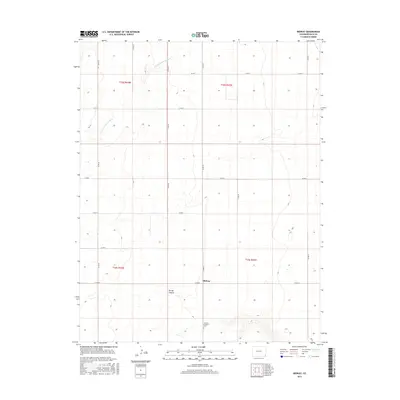
2016 Map of Midway
USGS Topo · Published 2016About this map
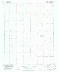
The settlement of Midway sits at the center of this high plains landscape in Baca County, characterized by a precise grid of county roads that define the local agricultural layout. The N Fork Cimarron River cuts across the northwest corner of the survey, providing a rare riparian break in the surrounding tablelands. To the south, the terrain becomes more varied around Spring Canyon, where the elevation drops into drainage patterns that differ from the flat, cultivated sections to the north.
Find a feature on this map
20 named features on this map. Tap any name to fly to it.
Don’t see what you’re looking for? This feature index may not catch every label — zoom into the map to look around manually.
Map Details
Editions of this 2016 Midway Map
This is the sole edition of this map. No revisions or reprints were ever made.
Other maps of this area

1892 · Vilas
USGS Topo · 1:125,000

1955 · La Junta
USGS Topo · 1:250,000

1958 · La Junta
USGS Topo · 1:250,000

1968 · La Junta
USGS Topo · 1:250,000

1978 · Walsh SE
USGS Topo · 1:24,000
1978 · Midway
USGS Topo · 1:24,000
1978 · Midway SE
USGS Topo · 1:24,000

1978 · Moore Draw NE
USGS Topo · 1:24,000
1978 · Moore Draw SE
USGS Topo · 1:24,000
1978 · Midway NE
USGS Topo · 1:24,000