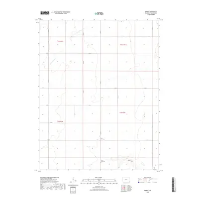
2019 Map of Midway
USGS Topo · Published 2019About this map
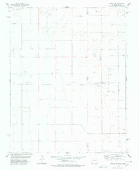
Midway occupies a quiet stretch of high plains in Baca County, where the grid of the Public Land Survey System dictates the movement of travel and local life. The landscape is defined by the winding course of the N Fork Cimarron River in the northwest and the depression of Spring Canyon in the southeast. A significant cultural landmark is the German Dunkard Cem, located in the southern portion of the quadrangle. This site serves as a physical record of the German Baptist Brethren who settled in this part of Colorado. The map reveals a strictly rural infrastructure where numbered county roads like Co RD 50 and Co RD M intersect to connect isolated homesteads and ranch lands across the expansive township boundaries of t32s r42w and t33s r43w.
Find a feature on this map
21 named features on this map. Tap any name to fly to it.
Don’t see what you’re looking for? This feature index may not catch every label — zoom into the map to look around manually.
Map Details
Editions of this 2019 Midway Map
This is the sole edition of this map. No revisions or reprints were ever made.
Other maps of this area

1892 · Vilas
USGS Topo · 1:125,000

1955 · La Junta
USGS Topo · 1:250,000

1958 · La Junta
USGS Topo · 1:250,000

1968 · La Junta
USGS Topo · 1:250,000

1978 · Walsh SE
USGS Topo · 1:24,000
1978 · Midway
USGS Topo · 1:24,000
1978 · Midway SE
USGS Topo · 1:24,000

1978 · Moore Draw NE
USGS Topo · 1:24,000
1978 · Moore Draw SE
USGS Topo · 1:24,000
1978 · Midway NE
USGS Topo · 1:24,000