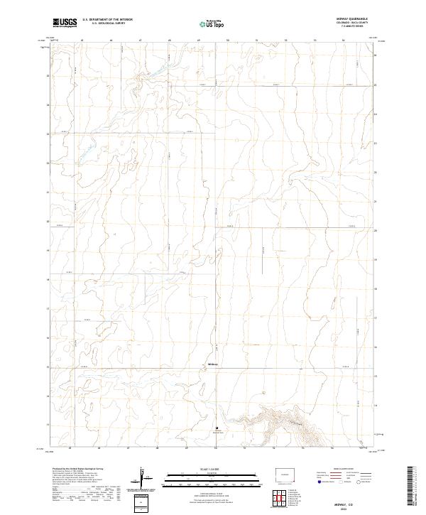
2022 Map of Midway
USGS Topo · Published 2022About this map
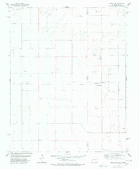
The high plains of Baca County, Colorado, are characterized by a sparse grid of section lines and gravel routes such as Co Rd T and Co Rd 52. The small settlement of Midway serves as a central point in this agricultural landscape, situated north of the German Dunkard Cem. This cemetery provides a direct link to the region's ethnic and religious heritage, marking the presence of early 20th-century Brethren settlers in the southeastern corner of the state. The terrain is interrupted by the winding path of the N Fork Cimarron River in the northwest and the incision of Spring Canyon to the south. These seasonal watercourses and topographic breaks provided critical relief for early ranchers and homesteaders navigating the expansive shortgrass prairie.
Find a feature on this map
21 named features on this map. Tap any name to fly to it.
Don’t see what you’re looking for? This feature index may not catch every label — zoom into the map to look around manually.
Map Details
Editions of this 2022 Midway Map
This is the sole edition of this map. No revisions or reprints were ever made.
Other maps of this area

1892 · Vilas
USGS Topo · 1:125,000

1955 · La Junta
USGS Topo · 1:250,000

1958 · La Junta
USGS Topo · 1:250,000

1968 · La Junta
USGS Topo · 1:250,000

1978 · Walsh SE
USGS Topo · 1:24,000
1978 · Midway
USGS Topo · 1:24,000
1978 · Midway SE
USGS Topo · 1:24,000

1978 · Moore Draw NE
USGS Topo · 1:24,000
1978 · Moore Draw SE
USGS Topo · 1:24,000
1978 · Midway NE
USGS Topo · 1:24,000