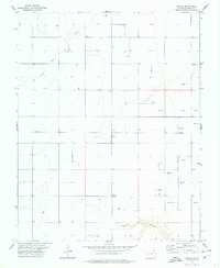
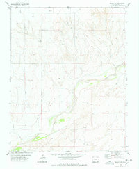
1978 Map of Midway
USGS Topo · Published 1978About this map
The North Fork Cimarron River winds through this high plains landscape of Baca County, where the topography is defined by the sharp incision of Spring Canyon in the southern reaches. The settlement of Midway sits at a crossroads of section lines, serving as a focal point for a region increasingly defined by its subterranean resources. By the late 1970s, the rural character of the area was heavily overlaid with industrial infrastructure, as evidenced by the dense concentration of Gas Well and Oil Well sites scattered across the sections. A network of Pipelines and smaller service lines connects these extraction points, tracing a modern economy across the traditional range land. This transition from open cattle country to an active energy field is meticulously documented, showing the precise placement of every Drill Hole and well pad against the natural drainage patterns of the Cimarron.
Find a feature on this map
10 named features on this map. Tap any name to fly to it.
Don’t see what you’re looking for? This feature index may not catch every label — zoom into the map to look around manually.
Map Details
Editions of this 1978 Midway Map
This is the sole edition of this map. No revisions or reprints were ever made.
Other maps of this area

1892 · Vilas
USGS Topo · 1:125,000

1955 · La Junta
USGS Topo · 1:250,000

1958 · La Junta
USGS Topo · 1:250,000

1968 · La Junta
USGS Topo · 1:250,000

1978 · Walsh SE
USGS Topo · 1:24,000
1978 · Midway SE
USGS Topo · 1:24,000

1978 · Moore Draw NE
USGS Topo · 1:24,000
1978 · Moore Draw SE
USGS Topo · 1:24,000
1978 · Midway NE
USGS Topo · 1:24,000
1978 · Midway SW
USGS Topo · 1:24,000