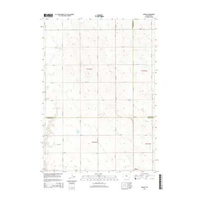
2015 Map of Midway
USGS Topo · Published 2015About this map
Midway anchors the southeastern corner of this rural landscape, situated where the borders of Hutchinson, Turner, and Yankton counties meet. The terrain is defined by a series of glacial lakes and intermittent waterways, including the prominent Ulmer Lake and Guthmiller Lake. A rigorous grid of section-line roads, such as Stone Church Rd and Country Ln, reflects the enduring Public Land Survey System structure that organized South Dakota's agricultural heartland. Small markers of community history are found at Ulmer Cem and Zion Cem, which serve as quiet landmarks for genealogists tracing early families in Jamesville Township. Drainage patterns like Clay Cr, Mud Cr, and Smoky Run illustrate the natural hydrology that shaped local farm placement and land use into the twenty-first century.
Find a feature on this map
26 named features on this map. Tap any name to fly to it.
Don’t see what you’re looking for? This feature index may not catch every label — zoom into the map to look around manually.
Map Details
Editions of this 2015 Midway Map
This is the sole edition of this map. No revisions or reprints were ever made.
Other maps of this area

1898 · Olivet
USGS Topo · 1:125,000

1898 · Parker
USGS Topo · 1:125,000

1955 · Sioux Falls
USGS Topo · 1:250,000

1957 · Mayfield
USGS Topo · 1:24,000

1957 · Midway
USGS Topo · 1:24,000

1957 · Menno
USGS Topo · 1:24,000

1957 · Wolf Creek
USGS Topo · 1:24,000

1957 · Jamesville
USGS Topo · 1:24,000

1958 · Sioux Falls
USGS Topo · 1:250,000

1970 · Turkey Ridge
USGS Topo · 1:24,000