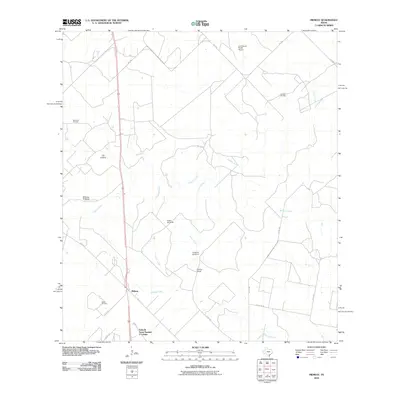
2010 Map of Midway
USGS Topo · Published 2010About this map
Midway and the surrounding ranchlands of Jim Wells County are defined by a network of intermittent drainage and energy extraction. This 2010 landscape shows a clear pattern of rural industry, where the Ramirena Oil Field, Stehle Oil Field, and Hinnant Oil Field dot the terrain alongside livestock infrastructure like the Williams Windmill and Foster Windmill. The presence of the Vally-Hi Acres Number 2 Colonia near the southern boundary reflects specific residential development patterns characteristic of the Texas borderlands region.
Find a feature on this map
26 named features on this map. Tap any name to fly to it.
Don’t see what you’re looking for? This feature index may not catch every label — zoom into the map to look around manually.
Map Details
Editions of this 2010 Midway Map
This is the sole edition of this map. No revisions or reprints were ever made.
Other maps of this area

1920 · Mikeska
USGS Topo · 1:125,000

1920 · San Diego
USGS Topo · 1:62,500

1925 · Mathis No. 2
USGS Topo · 1:48,000

1925 · Mathis No. 3
USGS Topo · 1:48,000

1927 · Mathis
USGS Topo · 1:62,500

1950 · Corpus Christi
USGS Topo · 1:250,000

1953 · Crystal City
USGS Topo · 1:250,000

1953 · Beeville
USGS Topo · 1:250,000

1954 · Orange Grove
USGS Topo · 1:62,500

1954 · Mathis
USGS Topo · 1:62,500