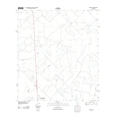
2013 Map of Midway
USGS Topo · Published 2013About this map
Midway is situated in a landscape of South Texas ranching and petroleum development, where ephemeral creeks like Lagarto Cr and Julian Cr carve through the brush country. The map documents the presence of specific family-named landmarks and ranching infrastructure, including Williams Windmill, Foster Windmill, and Longoria Windmill. These features indicate the vital role of groundwater management in this arid region, where drainages such as Barbone Cr and Longoria Cr define the local topography.
Find a feature on this map
31 named features on this map. Tap any name to fly to it.
Don’t see what you’re looking for? This feature index may not catch every label — zoom into the map to look around manually.
Map Details
Editions of this 2013 Midway Map
This is the sole edition of this map. No revisions or reprints were ever made.
Other maps of this area

1920 · Mikeska
USGS Topo · 1:125,000

1920 · San Diego
USGS Topo · 1:62,500

1925 · Mathis No. 2
USGS Topo · 1:48,000

1925 · Mathis No. 3
USGS Topo · 1:48,000

1927 · Mathis
USGS Topo · 1:62,500

1950 · Corpus Christi
USGS Topo · 1:250,000

1953 · Crystal City
USGS Topo · 1:250,000

1953 · Beeville
USGS Topo · 1:250,000

1954 · Orange Grove
USGS Topo · 1:62,500

1954 · Mathis
USGS Topo · 1:62,500