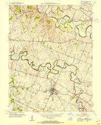
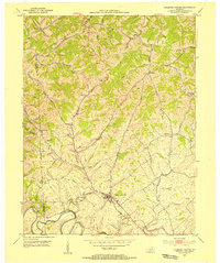
1954 Map of Midway
USGS Topo · Published 1955About this map
Midway stands as the central hub of this Bluegrass region landscape, where the Louisville and Nashville line intersects with a network of country pikes. The map reveals a community defined by its institutions, including the St Francis Mission and the Orphans Sch, alongside smaller crossroads such as White Sulphur and Davistown. The meandering paths of North Elkhorn Creek and South Elkhorn Creek dominate the topography, carving through the limestone-rich terrain of the Kentucky horse country.
Find a feature on this map
35 named features on this map. Tap any name to fly to it.
Don’t see what you’re looking for? This feature index may not catch every label — zoom into the map to look around manually.
Map Details
Editions of this 1954 Midway Map
4 editions found
Other maps of this area

1906 · Lockport
USGS Topo · 1:48,000

1906 · Georgetown
USGS Topo · 1:62,500

1908 · Lockport
USGS Topo · 1:62,500

1908 · Georgetown
USGS Topo · 1:62,500

1922 · Frankfort
USGS Topo · 1:48,000

1924 · Frankfort
USGS Topo · 1:62,500

1939 · Sadieville
USGS Topo · 1:62,500

1950 · Lexington West
USGS Topo · 1:24,000

1952 · Midway
USGS Topo · 1:24,000
1953 · Stamping Ground
USGS Topo · 1:24,000