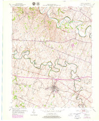
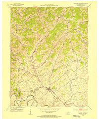
1954 Map of Midway
USGS Topo · Published 1979About this map
Midway serves as the central hub of this Bluegrass region survey, where the Louisville and Nashville railroad cuts through a landscape defined by the winding paths of North Elkhorn Creek and South Elkhorn Creek. This 1950s study, updated with late-1970s revisions, reveals a sophisticated network of early transit routes including the Ironworks Pike and Old Frankfort Road. Social and spiritual anchors of the community are evident in the presence of the St Francis Mission, Zebulah Ch, and the Orphans Sch. Smaller settlements and stops such as Spring Station, Davistown, and White Sulphur illustrate the dense rural population during this era. The map traces several county boundaries, illustrating how Scott Co, Woodford Co, and Franklin Co converge among the fertile ridges and creek bottoms.
Find a feature on this map
30 named features on this map. Tap any name to fly to it.
Don’t see what you’re looking for? This feature index may not catch every label — zoom into the map to look around manually.
Map Details
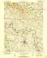
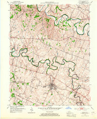
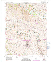
Editions of this 1954 Midway Map
4 editions found
Other maps of this area

1906 · Lockport
USGS Topo · 1:48,000

1906 · Georgetown
USGS Topo · 1:62,500

1908 · Lockport
USGS Topo · 1:62,500

1908 · Georgetown
USGS Topo · 1:62,500

1922 · Frankfort
USGS Topo · 1:48,000

1924 · Frankfort
USGS Topo · 1:62,500

1939 · Sadieville
USGS Topo · 1:62,500

1950 · Lexington West
USGS Topo · 1:24,000

1952 · Midway
USGS Topo · 1:24,000
1953 · Stamping Ground
USGS Topo · 1:24,000