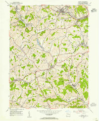
1954 Map of Midway
USGS Topo · Published 1955About this map
Industrial and rural landscapes intersect across this 1950s survey of Washington County, Pennsylvania. The coal-rich terrain is heavily shaped by extractive industry, notably around Westland and Midway, where numerous notations for Strip Mines, a Mine Dump, and the Allison Shaft suggest the heavy footprint of mining. Transportation is vital to this economy, shown through the busy corridors of the Montour and Pennsylvania railroads, which navigate the hilly topography using engineering works like the Acheson Tunnel and Hickory Tunnel.
Find a feature on this map
45 named features on this map. Tap any name to fly to it.
Don’t see what you’re looking for? This feature index may not catch every label — zoom into the map to look around manually.
Map Details
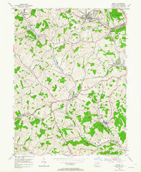
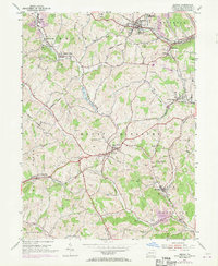
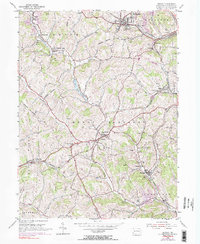
Editions of this 1954 Midway Map
4 editions found
Other maps of this area

1901 · Amity
USGS Topo · 1:62,500

1904 · Amity
USGS Topo · 1:62,500

1904 · Carnegie
USGS Topo · 1:62,500

1904 · Burgettstown
USGS Topo · 1:62,500

1906 · Burgettstown
USGS Topo · 1:62,500

1906 · Carnegie
USGS Topo · 1:62,500

1907 · Claysville
USGS Topo · 1:62,500

1908 · Carnegie
USGS Topo · 1:62,500

1951 · Canton
USGS Topo · 1:250,000

1953 · Canton
USGS Topo · 1:250,000