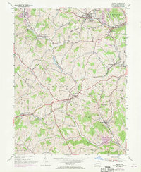
1954 Map of Midway
USGS Topo · Published 1970About this map
Industrial activity and rural township life intersect in this survey of Washington County, where the Montour and Penn Central railroads serve as primary arteries for the region's extraction economy. The landscape is dotted with evidence of local coal operations, including a Strip Mine and multiple Mine Dumps, particularly around the settlements of Midway and Primrose. Engineering landmarks such as the McQuain Tunnel, Acheson Tunnel, and Hickory Tunnel reveal the complex infrastructure required to navigate the area's many ridges and valleys.
Find a feature on this map
49 named features on this map. Tap any name to fly to it.
Don’t see what you’re looking for? This feature index may not catch every label — zoom into the map to look around manually.
Map Details
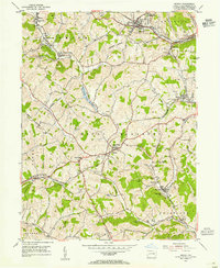
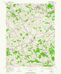
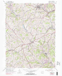
Editions of this 1954 Midway Map
4 editions found
Other maps of this area

1901 · Amity
USGS Topo · 1:62,500

1904 · Amity
USGS Topo · 1:62,500

1904 · Carnegie
USGS Topo · 1:62,500

1904 · Burgettstown
USGS Topo · 1:62,500

1906 · Burgettstown
USGS Topo · 1:62,500

1906 · Carnegie
USGS Topo · 1:62,500

1907 · Claysville
USGS Topo · 1:62,500

1908 · Carnegie
USGS Topo · 1:62,500

1951 · Canton
USGS Topo · 1:250,000

1953 · Canton
USGS Topo · 1:250,000