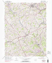
1954 Map of Midway
USGS Topo · Published 1990About this map
The ridge-and-valley landscape of Washington County is defined by the industrial and agricultural developments seen in this 1954 survey. Rail transport is central to the area's layout, with the Penn Central and Montour railroads threading through the valleys near Midway and Primrose. These corridors supported active resource extraction, evidenced by a Strip Mine and Quarry located near Westland. The interior is dotted with civic landmarks like the Mount Prospect Ch and several township schools, indicating a well-established rural community.
Find a feature on this map
42 named features on this map. Tap any name to fly to it.
Don’t see what you’re looking for? This feature index may not catch every label — zoom into the map to look around manually.
Map Details
Editions of this 1954 Midway Map
4 editions found
Other maps of this area

1901 · Amity
USGS Topo · 1:62,500

1904 · Amity
USGS Topo · 1:62,500

1904 · Carnegie
USGS Topo · 1:62,500

1904 · Burgettstown
USGS Topo · 1:62,500

1906 · Burgettstown
USGS Topo · 1:62,500

1906 · Carnegie
USGS Topo · 1:62,500

1907 · Claysville
USGS Topo · 1:62,500

1908 · Carnegie
USGS Topo · 1:62,500

1951 · Canton
USGS Topo · 1:250,000

1953 · Canton
USGS Topo · 1:250,000