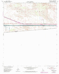
1954 Map of Midway Well
USGS Topo · Published 1985About this map
The All American Canal dominates this arid landscape, cutting a straight industrial line across the East Mesa just north of the border between the United States and Mexico. This 1954 survey, updated with 1970s aerial revisions, illustrates the massive engineering efforts required to bring water to the Imperial Valley. Infrastructure like the Levee, Flume, and Siphon systems alongside Power Drop No 1 and Power Drop No 2 underscore the region's reliance on controlled water flow.
Find a feature on this map
16 named features on this map. Tap any name to fly to it.
Don’t see what you’re looking for? This feature index may not catch every label — zoom into the map to look around manually.
Map Details
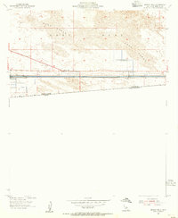
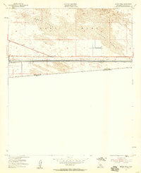
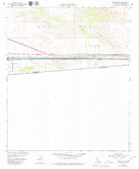
Editions of this 1954 Midway Well Map
4 editions found
Other maps of this area

1903 · Yuma
USGS Topo · 1:125,000

1905 · Yuma
USGS Topo · 1:125,000

1907 · Holtville
USGS Topo · 1:125,000

1942 · El Centro
USGS Topo · 1:250,000

1942 · Yuma
USGS Topo · 1:250,000

1953 · Grays Well
USGS Topo · 1:24,000

1953 · Ogilby
USGS Topo · 1:62,500

1953 · Cactus
USGS Topo · 1:24,000

1954 · El Centro
USGS Topo · 1:250,000

1954 · Midway Well NW
USGS Topo · 1:24,000