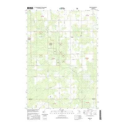
2017 Map of Mikado
USGS Topo · Published 2017About this map
The settlement of Mikado serves as the focal point of this northern Michigan landscape, situated at the intersection of Co Hwy F-30 and F-41. Much of the western and central territory is dominated by the Huron National Forest, where a complex network of waterways including the W Br Pine River and S Br Pine River define the local drainage. These river branches, along with smaller tributaries like McDonald Cr, suggest a history of timber management and conservation within the federal forest boundaries.
Find a feature on this map
58 named features on this map. Tap any name to fly to it.
Don’t see what you’re looking for? This feature index may not catch every label — zoom into the map to look around manually.
Map Details
Editions of this 2017 Mikado Map
This is the sole edition of this map. No revisions or reprints were ever made.
Other maps of this area

1954 · Tawas City
USGS Topo · 1:250,000

1958 · Tawas City
USGS Topo · 1:250,000

1959 · Tawas City
USGS Topo · 1:62,500

1959 · East Tawas
USGS Topo · 1:62,500

1959 · Glennie
USGS Topo · 1:62,500

1959 · Harrisville
USGS Topo · 1:62,500

1983 · Hubbard Lake
USGS Topo · 1:100,000

1984 · Tawas City
USGS Topo · 1:100,000
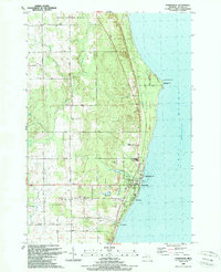
1989 · Harrisville
USGS Topo · 1:24,000
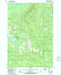
1989 · Barton City
USGS Topo · 1:24,000