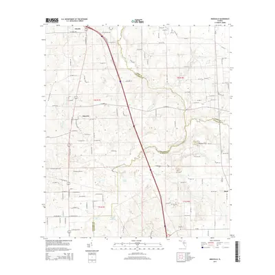
2015 Map of Mikesville
USGS Topo · Published 2015About this map
Santa Fe River and its tributary, Olustee Cr, define the drainage and political boundaries where Columbia, Union, and Alachua counties meet. This interior Florida landscape is characterized by its karst topography, most notably at Robinson Sinks, and a series of isolated water bodies including Ogden Pond and Hogpen Pond. The settlement pattern centers on small rural communities like Ellisville and Mikesville along the corridor of S US Highway 441.
Find a feature on this map
107 named features on this map. Tap any name to fly to it.
Don’t see what you’re looking for? This feature index may not catch every label — zoom into the map to look around manually.
Map Details
Editions of this 2015 Mikesville Map
This is the sole edition of this map. No revisions or reprints were ever made.
Other maps of this area

1954 · Gainesville
USGS Topo · 1:250,000

1954 · Valdosta
USGS Topo · 1:250,000

1958 · Valdosta
USGS Topo · 1:250,000

1958 · Gainesville
USGS Topo · 1:250,000

1959 · Valdosta
USGS Topo · 1:250,000

1959 · Gainesville
USGS Topo · 1:250,000

1962 · High Springs
USGS Topo · 1:24,000

1962 · Mikesville
USGS Topo · 1:24,000

1963 · Ellisville
USGS Topo · 1:24,000

1963 · Columbia
USGS Topo · 1:24,000