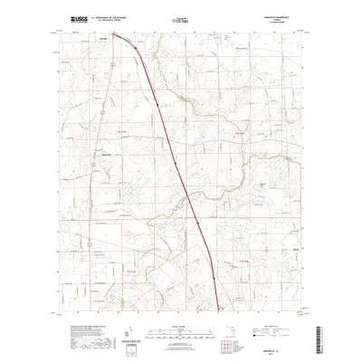
2021 Map of Mikesville
USGS Topo · Published 2021About this map
Mikesville and Ellisville anchor this northern Florida landscape where the borders of Columbia, Alachua, and Union counties converge. The geography is defined by complex subterranean water systems, most notably the Santa Fe River and the River Sink, which illustrate the area's karst topography. The landscape is dotted with unique hydrographic features like Buzzard Roost Prairie, Robinson Sinks, and Hogpen Pond, highlighting the intersection of swampy lowlands and pine flatwoods.
Find a feature on this map
139 named features on this map. Tap any name to fly to it.
Don’t see what you’re looking for? This feature index may not catch every label — zoom into the map to look around manually.
Map Details
Editions of this 2021 Mikesville Map
This is the sole edition of this map. No revisions or reprints were ever made.
Other maps of this area

1954 · Gainesville
USGS Topo · 1:250,000

1954 · Valdosta
USGS Topo · 1:250,000

1958 · Valdosta
USGS Topo · 1:250,000

1958 · Gainesville
USGS Topo · 1:250,000

1959 · Valdosta
USGS Topo · 1:250,000

1959 · Gainesville
USGS Topo · 1:250,000

1962 · High Springs
USGS Topo · 1:24,000

1962 · Mikesville
USGS Topo · 1:24,000

1963 · Ellisville
USGS Topo · 1:24,000

1963 · Columbia
USGS Topo · 1:24,000