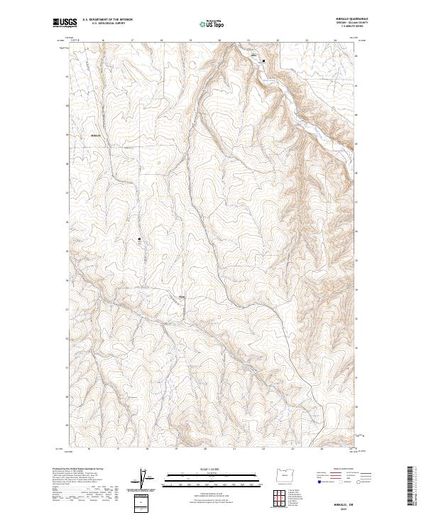
2023 Map of Mikkalo
USGS Topo · Published 2023About this map
High plateau wheat lands and deep drainage ravines define this section of the Oregon high country near Mikkalo. The landscape is etched by major topographical features like French Charlie Canyon and Scott Canyon, which funnel toward the winding course of Rock Creek in the north. This area reflects a quiet agricultural continuity, where small clusters like Clem and Olex serve as historical anchors for the surrounding ranching community.
Find a feature on this map
22 named features on this map. Tap any name to fly to it.
Don’t see what you’re looking for? This feature index may not catch every label — zoom into the map to look around manually.
Map Details
Editions of this 2023 Mikkalo Map
This is the sole edition of this map. No revisions or reprints were ever made.
Other maps of this area

1916 · Arlington
USGS Topo · 1:125,000

1916 · Condon
USGS Topo · 1:125,000

1953 · The Dalles
USGS Topo · 1:250,000

1956 · The Dalles
USGS Topo · 1:250,000

1957 · The Dalles
USGS Topo · 1:250,000

1964 · Turner Butte
USGS Topo · 1:24,000

1964 · Shutler Flat
USGS Topo · 1:24,000

1964 · Hickland Butte
USGS Topo · 1:24,000

1970 · Devils Backbone
USGS Topo · 1:24,000
1970 · Wolf Hollow Falls
USGS Topo · 1:24,000