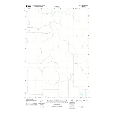
2010 Map of Milaca NE
USGS Topo · Published 2010About this map
Groundhouse River and its West Fork Groundhouse River dominate this Mille Lacs County landscape, carving through a region defined by managed natural spaces and water control. At the northern edge, Cranberry Lake and Mikkelson Pool mark the hydrology of the area, while the William Mills Pond Dam indicates specific local water management efforts. The presence of the Mille Lacs Lookout Tower near 100th Ave suggests the importance of forest fire surveillance in this timber-rich portion of Minnesota. Much of the terrain is accessible via a network of secondary roads and forest tracks, including Game Refuge Rd and Kanabec Forest Rd, which navigate the wetlands and woods surrounding Mike Drew Brook. The map reflects a modern era of land use focused on conservation and resource protection rather than dense urban settlement.
Find a feature on this map
22 named features on this map. Tap any name to fly to it.
Don’t see what you’re looking for? This feature index may not catch every label — zoom into the map to look around manually.
Map Details
Editions of this 2010 Milaca NE Map
This is the sole edition of this map. No revisions or reprints were ever made.
Other maps of this area

1953 · Duluth
USGS Topo · 1:250,000

1953 · Stillwater
USGS Topo · 1:250,000

1955 · Stillwater
USGS Topo · 1:250,000

1958 · Stillwater
USGS Topo · 1:250,000

1958 · Duluth
USGS Topo · 1:250,000

1965 · Stillwater
USGS Topo · 1:250,000

1968 · Milaca NE
USGS Topo · 1:24,000

1968 · Ann Lake
USGS Topo · 1:24,000

1968 · Onamia
USGS Topo · 1:24,000

1968 · Isle SW
USGS Topo · 1:24,000