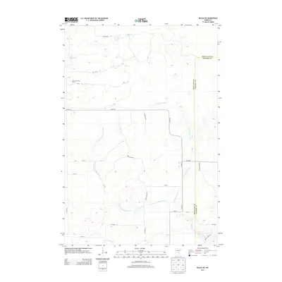
2013 Map of Milaca NE
USGS Topo · Published 2013About this map
The Mille Lacs Lookout Tower stands as a prominent landmark on this landscape at the border of Mille Lacs and Kanabec counties. The terrain is defined by a dense network of tributaries feeding the Groundhouse River, including the W Fork Groundhouse River and Mike Drew Brook. These waterways wind through a region largely dedicated to conservation and managed forestry, indicated by the extensive reach of Game Refuge Rd and St Forest Rd.
Find a feature on this map
23 named features on this map. Tap any name to fly to it.
Don’t see what you’re looking for? This feature index may not catch every label — zoom into the map to look around manually.
Map Details
Editions of this 2013 Milaca NE Map
This is the sole edition of this map. No revisions or reprints were ever made.
Other maps of this area

1953 · Duluth
USGS Topo · 1:250,000

1953 · Stillwater
USGS Topo · 1:250,000

1955 · Stillwater
USGS Topo · 1:250,000

1958 · Stillwater
USGS Topo · 1:250,000

1958 · Duluth
USGS Topo · 1:250,000

1965 · Stillwater
USGS Topo · 1:250,000

1968 · Milaca NE
USGS Topo · 1:24,000

1968 · Ann Lake
USGS Topo · 1:24,000

1968 · Onamia
USGS Topo · 1:24,000

1968 · Isle SW
USGS Topo · 1:24,000