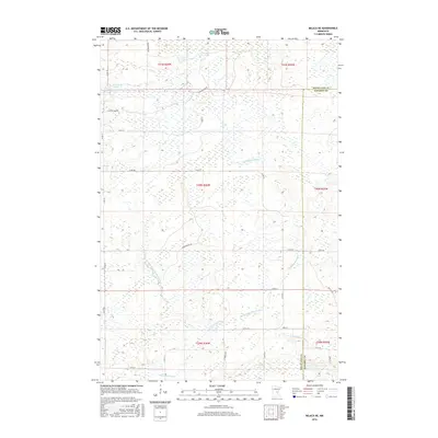
2016 Map of Milaca NE
USGS Topo · Published 2016About this map
The Groundhouse River and its W Fork Groundhouse River wind through the wetland-rich landscape where the Mille Lacs County and Kanabec County border meets. This 2016 survey illustrates a sparsely settled region defined by extensive marshes and waterways, including Cranberry Lake and Mikkelson Pool in the northern townships. The area is intersected by a grid of rural roads like Game Refuge Rd and Arctic Trl, reflecting the low-density land use and the importance of conservation and drainage management in this part of central Minnesota. Further south, Mike Drew Brook drains the terrain near the township line of t39n r26w, showing the natural hydrology that has historically shaped local property boundaries and access routes.
Find a feature on this map
27 named features on this map. Tap any name to fly to it.
Don’t see what you’re looking for? This feature index may not catch every label — zoom into the map to look around manually.
Map Details
Editions of this 2016 Milaca NE Map
This is the sole edition of this map. No revisions or reprints were ever made.
Other maps of this area

1953 · Duluth
USGS Topo · 1:250,000

1953 · Stillwater
USGS Topo · 1:250,000

1955 · Stillwater
USGS Topo · 1:250,000

1958 · Stillwater
USGS Topo · 1:250,000

1958 · Duluth
USGS Topo · 1:250,000

1965 · Stillwater
USGS Topo · 1:250,000

1968 · Milaca NE
USGS Topo · 1:24,000

1968 · Ann Lake
USGS Topo · 1:24,000

1968 · Onamia
USGS Topo · 1:24,000

1968 · Isle SW
USGS Topo · 1:24,000