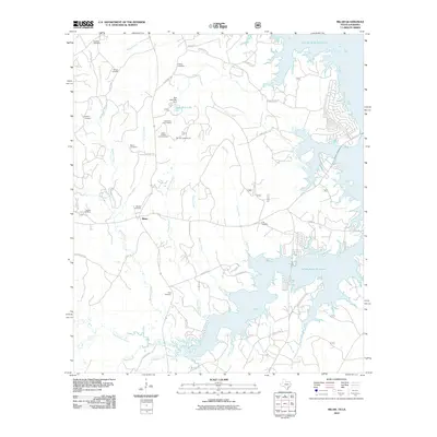
2010 Map of Milam
USGS Topo · Published 2010About this map
Milam sits at the heart of this landscape, positioned between the extensive shoreline of the Toledo Bend Reservoir and the winding tributaries that feed into Palo Gaucho Bayou. This portion of Sabine County is notable for its dense concentration of family and community burial grounds, including Buckley Cemetery, Gellatly Cemetery, Vickers Cemetery, and several others that serve as vital touchstones for local genealogy. The map captures a landscape where forestry and recreation are primary, seen in the Austin College Forestry Camp and Red Hill Campground near Red Hills Lake.
Find a feature on this map
47 named features on this map. Tap any name to fly to it.
Don’t see what you’re looking for? This feature index may not catch every label — zoom into the map to look around manually.
Map Details
Editions of this 2010 Milam Map
This is the sole edition of this map. No revisions or reprints were ever made.
Other maps of this area

1941 · Zwolle
USGS Topo · 1:62,500

1944 · Negreet
USGS Topo · 1:62,500

1944 · Patroon
USGS Topo · 1:62,500

1944 · Zwolle
USGS Topo · 1:62,500

1953 · Alexandria
USGS Topo · 1:250,000

1954 · Columbus
USGS Topo · 1:24,000

1954 · Negreet
USGS Topo · 1:62,500

1954 · Salter Creek
USGS Topo · 1:24,000

1955 · Alexandria
USGS Topo · 1:250,000

1956 · Patroon
USGS Topo · 1:62,500