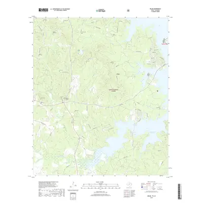
2019 Map of Milam
USGS Topo · Published 2019About this map
The Sabine National Forest dominates this section of eastern Texas, where the landscape is defined by the expansive waters of the Toledo Bend Reservoir and the historic settlement of Milam. This map is particularly significant for genealogical research, documenting numerous small family burial grounds and community sites such as the Gellatly Family Cem, Cannon Family Cem, and Evans Family Cem. The terrain is deeply dissected by a network of waterways including Palo Gaucho Bayou, Sulphur Cr, and Carrico Cr. Development is concentrated near the reservoir's edge, with residential clusters like those along Lakeshore Dr and Commodore Dr indicating the area's transition into a recreational and lakeside community while still preserving its deep-rooted rural character.
Find a feature on this map
80 named features on this map. Tap any name to fly to it.
Don’t see what you’re looking for? This feature index may not catch every label — zoom into the map to look around manually.
Map Details
Editions of this 2019 Milam Map
This is the sole edition of this map. No revisions or reprints were ever made.
Other maps of this area

1941 · Zwolle
USGS Topo · 1:62,500

1944 · Negreet
USGS Topo · 1:62,500

1944 · Patroon
USGS Topo · 1:62,500

1944 · Zwolle
USGS Topo · 1:62,500

1953 · Alexandria
USGS Topo · 1:250,000

1954 · Columbus
USGS Topo · 1:24,000

1954 · Negreet
USGS Topo · 1:62,500

1954 · Salter Creek
USGS Topo · 1:24,000

1955 · Alexandria
USGS Topo · 1:250,000

1956 · Patroon
USGS Topo · 1:62,500