
Loading...
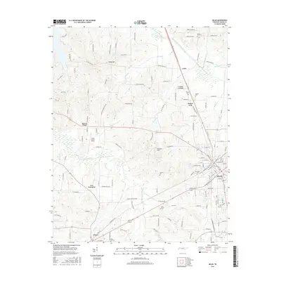
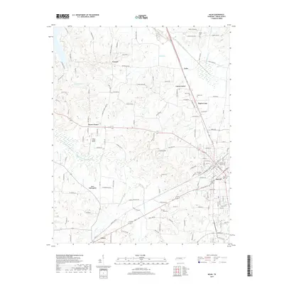
Loading map...1986 Map of Milan
USGS Topo · Published 1986About this map
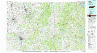
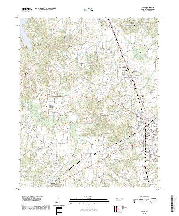
Milan Arsenal and the surrounding West Tennessee landscape appear in this mid-1980s Tennessee Valley Authority compilation. The map highlights a region defined by its complex drainage systems, including the Obion River and the various forks of the Forked Deer River. Agricultural and industrial land use is evident at the Univ of Tenn Milan Agr Exper Sta, while the eastern portion of the sheet is dominated by the extensive Natchez Trace State Forest and the shoreline of Kentucky Lake.
Find a feature on this map
179 named features on this map. Tap any name to fly to it.
Don’t see what you’re looking for? This feature index may not catch every label — zoom into the map to look around manually.
Map Details
Date Portrayed1986
Date Published1986
PublisherU.S. Geological Survey
Map TypeTopographic
Scale1:100,000
Physical Dimensions44.1 x 24.1 inches
Editions of this 1986 Milan Map
2 editions found
Historical Maps of Jackson Through Time
7 maps found
Featured Locations
Source Details
SourceU.S. Geological Survey
CopyrightPublic Domain