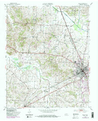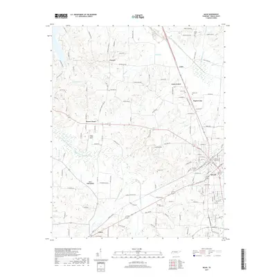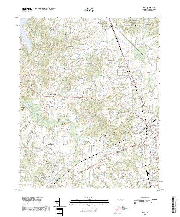
1986 Map of Milan
USGS Topo · Published 1993About this map
West Tennessee’s river-fed landscapes and transport corridors are documented here during a period of established agricultural and industrial utility. The sprawling Milan Arsenal and Wildlife Management Area occupies a significant portion of the central terrain, while the University of Tennessee Milan Agricultural Experiment Station reflects the region's deep ties to land management and research. The mapping captures the hydrologic complexity of the North Fork Forked Deer River and its sister forks, which define the drainage patterns toward the Mississippi River basin.
Find a feature on this map
157 named features on this map. Tap any name to fly to it.
Don’t see what you’re looking for? This feature index may not catch every label — zoom into the map to look around manually.
Map Details
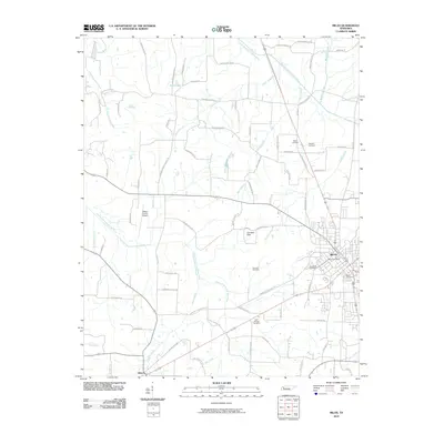
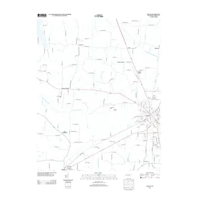
Editions of this 1986 Milan Map
2 editions found

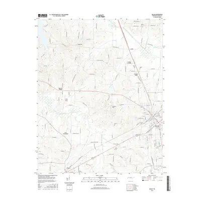
Historical Maps of Jackson Through Time
7 maps found