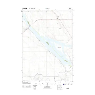
2013 Map of Milan
USGS Topo · Published 2013About this map
Milan serves as the primary hub of this landscape where the Minnesota River and the Lac qui Parle River converge. The topography is dominated by the sprawling expanse of Lac Qui Parle, a significant water body formed by the river's path through the region. This 2013 survey illustrates the modern road network, including Us-59 and MN-40, which intersect near the town center and cross the water via the Milan Bridge.
Find a feature on this map
28 named features on this map. Tap any name to fly to it.
Don’t see what you’re looking for? This feature index may not catch every label — zoom into the map to look around manually.
Map Details
Editions of this 2013 Milan Map
This is the sole edition of this map. No revisions or reprints were ever made.
Other maps of this area

1953 · Milbank
USGS Topo · 1:250,000

1953 · Watertown
USGS Topo · 1:250,000

1953 · New Ulm
USGS Topo · 1:250,000

1953 · Saint Cloud
USGS Topo · 1:250,000

1957 · Saint Cloud
USGS Topo · 1:250,000

1957 · New Ulm
USGS Topo · 1:250,000

1958 · New Ulm
USGS Topo · 1:250,000

1958 · Milbank
USGS Topo · 1:250,000

1958 · Watertown
USGS Topo · 1:250,000

1958 · Saint Cloud
USGS Topo · 1:250,000