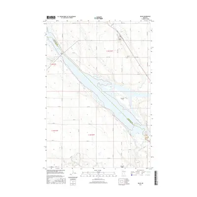
2016 Map of Milan
USGS Topo · Published 2016About this map
The Minnesota prairie landscape is defined here by the widening waters of Lac qui Parle, where the Lac qui Parle River and Emily Cr converge near the Chippewa and Lac qui Parle county line. The settlement of Milan serves as the primary hub, situated near the Milan Bridge which provides a vital crossing of the marshy river bottomlands. This area maintains a strong agricultural character, reflected in the grid of rural roads like 70th St NW and 140th Ave NW that partition the surrounding townships.
Find a feature on this map
46 named features on this map. Tap any name to fly to it.
Don’t see what you’re looking for? This feature index may not catch every label — zoom into the map to look around manually.
Map Details
Editions of this 2016 Milan Map
This is the sole edition of this map. No revisions or reprints were ever made.
Other maps of this area

1953 · Milbank
USGS Topo · 1:250,000

1953 · Watertown
USGS Topo · 1:250,000

1953 · New Ulm
USGS Topo · 1:250,000

1953 · Saint Cloud
USGS Topo · 1:250,000

1957 · Saint Cloud
USGS Topo · 1:250,000

1957 · New Ulm
USGS Topo · 1:250,000

1958 · New Ulm
USGS Topo · 1:250,000

1958 · Milbank
USGS Topo · 1:250,000

1958 · Watertown
USGS Topo · 1:250,000

1958 · Saint Cloud
USGS Topo · 1:250,000