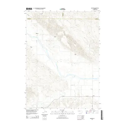
2014 Map of Milburn
USGS Topo · Published 2014About this map
The Middle Loup River valley dominates this portion of the Nebraska Sandhills, carving a broad path through a landscape of intricate topographic ridges and canyons. The settlement of Milburn sits at a strategic point along the river, where the Ne-21a-Spur provides access across the shifting terrain. To the southeast, the small community of Gates is situated near the junction of Sargent RD and Gates RD, serving as a local anchor for the surrounding ranching and agricultural lands.
Find a feature on this map
17 named features on this map. Tap any name to fly to it.
Don’t see what you’re looking for? This feature index may not catch every label — zoom into the map to look around manually.
Map Details
Editions of this 2014 Milburn Map
This is the sole edition of this map. No revisions or reprints were ever made.
Other maps of this area

1951 · Lillian
USGS Topo · 1:24,000

1951 · Anselmo
USGS Topo · 1:24,000

1951 · Walworth
USGS Topo · 1:24,000

1951 · Anselmo NE
USGS Topo · 1:24,000

1951 · Round Valley
USGS Topo · 1:24,000

1951 · Milburn
USGS Topo · 1:24,000

1952 · Almeria SW
USGS Topo · 1:24,000

1952 · Brewster SE
USGS Topo · 1:24,000

1952 · Almeria
USGS Topo · 1:24,000

1955 · Broken Bow
USGS Topo · 1:250,000