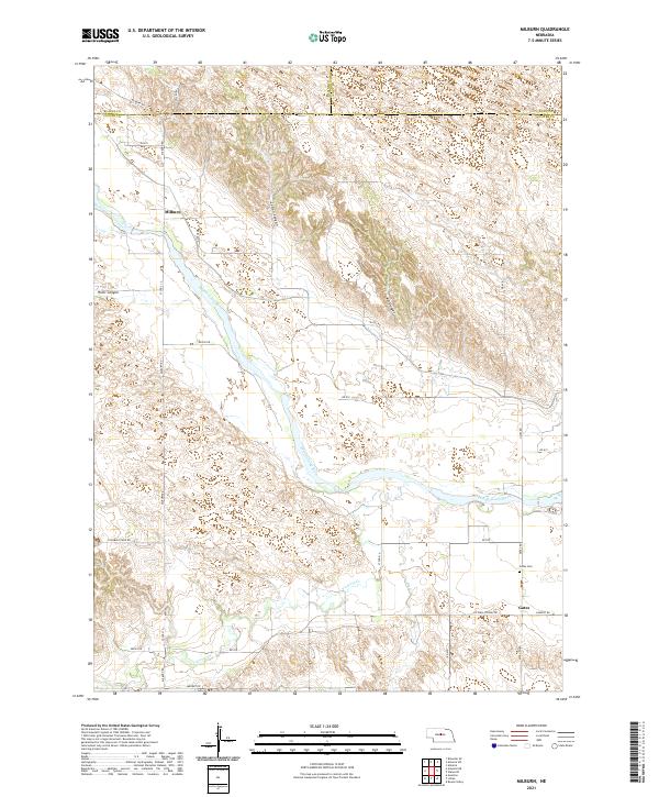
2021 Map of Milburn
USGS Topo · Published 2021About this map
The Middle Loup River winds diagonally across this section of Custer County, serving as the central geographic feature for the small communities of Milburn and Gates. The river's broad valley is flanked by a series of distinct geographical formations, including Cedar Canyon, River Canyon, and Ash Canyon. These natural corridors suggest the varied drainage patterns and elevation changes that define the local ranching and agricultural landscape. Near the settlement of Gates, the Gates Cem provides a point of genealogical interest, situated along the road network near the confluence of Victoria Cr and Dry Cr. The area is navigated by a grid of local routes like Sargent Rd and Columbia Table Rd, which connect these dispersed settlements and highlight the enduring rural structure of this Nebraska prairie region.
Find a feature on this map
35 named features on this map. Tap any name to fly to it.
Don’t see what you’re looking for? This feature index may not catch every label — zoom into the map to look around manually.
Map Details
Editions of this 2021 Milburn Map
This is the sole edition of this map. No revisions or reprints were ever made.
Other maps of this area

1951 · Lillian
USGS Topo · 1:24,000

1951 · Anselmo
USGS Topo · 1:24,000

1951 · Walworth
USGS Topo · 1:24,000

1951 · Anselmo NE
USGS Topo · 1:24,000

1951 · Round Valley
USGS Topo · 1:24,000

1951 · Milburn
USGS Topo · 1:24,000

1952 · Almeria SW
USGS Topo · 1:24,000

1952 · Brewster SE
USGS Topo · 1:24,000

1952 · Almeria
USGS Topo · 1:24,000

1955 · Broken Bow
USGS Topo · 1:250,000