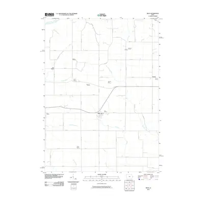
2010 Map of Miles
USGS Topo · Published 2010About this map
Agricultural lands and the upper reaches of the Elk River watershed characterize this portion of Jackson County in the early 21st century. The landscape is defined by its drainage patterns, with the Maquoketa River touching the northern boundary while Copper Creek, Smith Creek, and Simmons Creek carve through the surrounding farmland. The town of Miles serves as a central hub, anchored by the Miles Post Office, while the smaller settlements of Van Buren and Sterling mark the western and eastern edges of the quadrangle.
Find a feature on this map
57 named features on this map. Tap any name to fly to it.
Don’t see what you’re looking for? This feature index may not catch every label — zoom into the map to look around manually.
Map Details
Editions of this 2010 Miles Map
This is the sole edition of this map. No revisions or reprints were ever made.
Other maps of this area

1891 · Clinton
USGS Topo · 1:62,500

1892 · Goose Lake
USGS Topo · 1:62,500

1892 · Savanna
USGS Topo · 1:62,500

1894 · Goose Lake
USGS Topo · 1:62,500

1894 · Clinton
USGS Topo · 1:62,500

1899 · Clinton
USGS Topo · 1:125,000

1935 · Miles
USGS Topo · 1:62,500

1941 · Miles
USGS Topo · 1:62,500

1952 · Clinton
USGS Topo · 1:62,500

1952 · Savanna
USGS Topo · 1:62,500