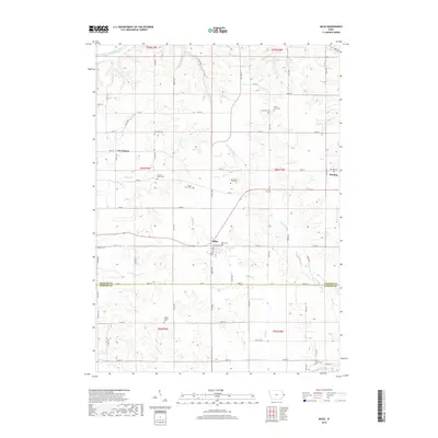
2018 Map of Miles
USGS Topo · Published 2018About this map
Miles and Van Buren serve as the primary hubs in this Jackson County landscape, situated where the terrain begins to drop toward the Maquoketa River valley in the north. The area is defined by a dense network of local family history, evidenced by an unusual concentration of small burial grounds such as Horst Farm Cem, Watts Farm Cem, and Schroeder Farm Cem. These sites, often situated on high ground between the drainage of Copper Cr and the N Br Elk River, reflect the deep-rooted agricultural settlement patterns of eastern Iowa.
Find a feature on this map
48 named features on this map. Tap any name to fly to it.
Don’t see what you’re looking for? This feature index may not catch every label — zoom into the map to look around manually.
Map Details
Editions of this 2018 Miles Map
This is the sole edition of this map. No revisions or reprints were ever made.
Other maps of this area

1891 · Clinton
USGS Topo · 1:62,500

1892 · Goose Lake
USGS Topo · 1:62,500

1892 · Savanna
USGS Topo · 1:62,500

1894 · Goose Lake
USGS Topo · 1:62,500

1894 · Clinton
USGS Topo · 1:62,500

1899 · Clinton
USGS Topo · 1:125,000

1935 · Miles
USGS Topo · 1:62,500

1941 · Miles
USGS Topo · 1:62,500

1952 · Clinton
USGS Topo · 1:62,500

1952 · Savanna
USGS Topo · 1:62,500