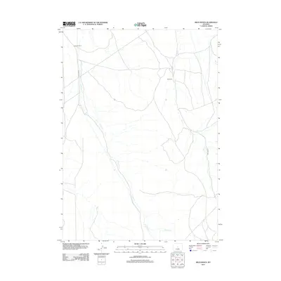
2012 Map of Miles Ranch
USGS Topo · Published 2012About this map
Miles Ranch and Thompson Ranch anchor this high-plains landscape in central Wyoming, marking the sparse human footprint in an area dominated by intricate drainage systems. The terrain is defined by the winding course of Canyon Cr, which is joined by W Canyon Cr and E Canyon Cr as they cut through the rangeland. To the east, the parallel basin of Deer Cr shapes the geography, tracing a path northward toward the regional drainage. The road network is strictly functional for ranching access, consisting primarily of Buck Camp Rd and Deer Creek Rd. This 2012 survey illustrates the enduring nature of Wyoming’s ranching tradition, where named homesteads remain the primary landmarks across miles of open country and seasonal creek beds.
Find a feature on this map
8 named features on this map. Tap any name to fly to it.
Don’t see what you’re looking for? This feature index may not catch every label — zoom into the map to look around manually.
Map Details
Editions of this 2012 Miles Ranch Map
This is the sole edition of this map. No revisions or reprints were ever made.
Other maps of this area

1952 · Seventy-one Reservoir
USGS Topo · 1:24,000

1952 · Ervay Basin SW
USGS Topo · 1:24,000

1952 · Arminto SW
USGS Topo · 1:24,000

1952 · Love Ranch
USGS Topo · 1:24,000

1952 · Gas Hills
USGS Topo · 1:24,000

1952 · Puddle Springs
USGS Topo · 1:24,000

1952 · Moneta SE
USGS Topo · 1:24,000

1952 · Miles Ranch
USGS Topo · 1:24,000

1952 · Ervay Basin
USGS Topo · 1:24,000

1955 · Arminto
USGS Topo · 1:250,000