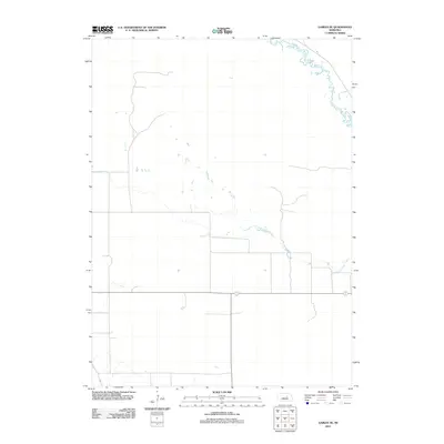
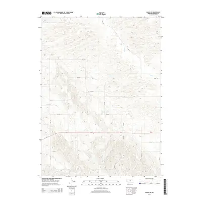
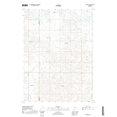
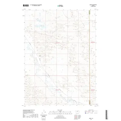
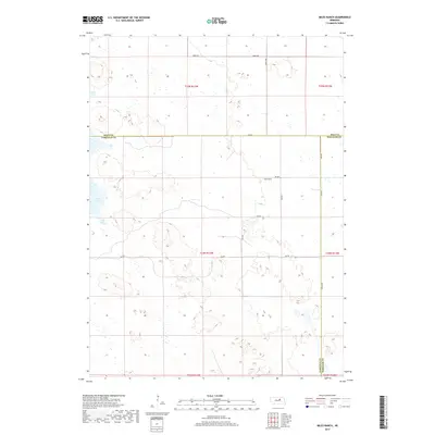
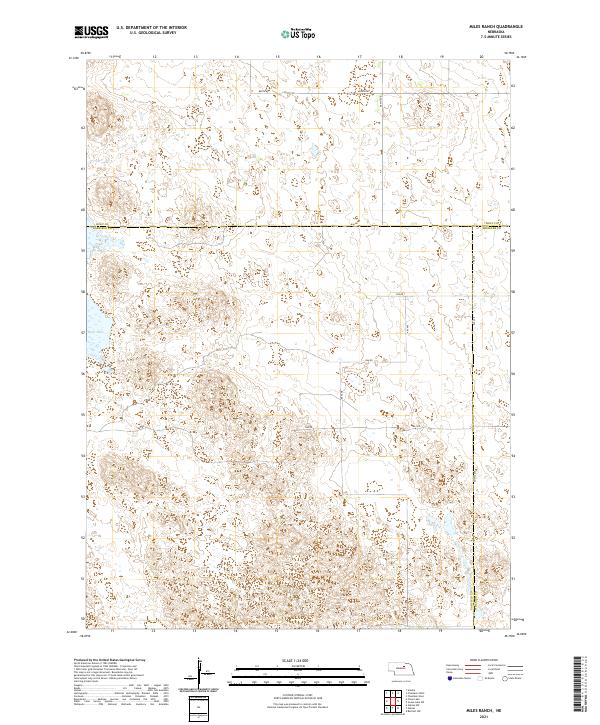
1981 Map of Miles Ranch
USGS Topo · Published 1986About this map
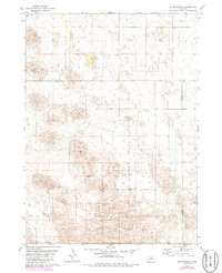
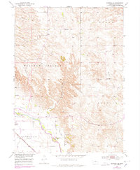
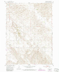
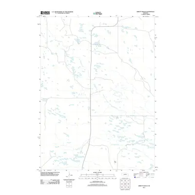
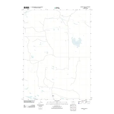
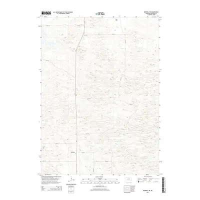
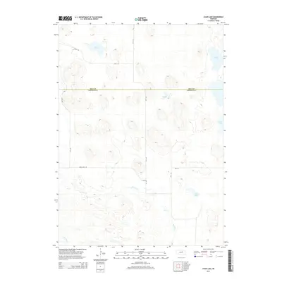
Miles Ranch and neighboring family holdings define this portion of the Nebraska Sandhills during the mid-1980s. Located at the intersection of Garfield, Holt, and Wheeler counties, the landscape is characterized by a high density of groundwater sources, indicated by numerous Well markings across the terrain. The presence of Rush Lakebed in the western reaches suggests the seasonal nature of water in this ranching country, where land use is dictated by the subtle topography of the dunes.
Find a feature on this map
9 named features on this map. Tap any name to fly to it.
Don’t see what you’re looking for? This feature index may not catch every label — zoom into the map to look around manually.
Map Details
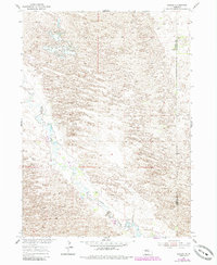
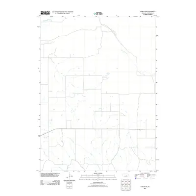
Editions of this 1981 Miles Ranch Map
2 editions found
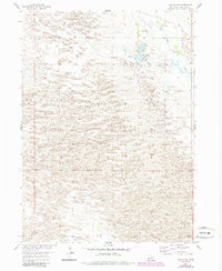
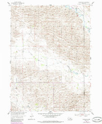
Historical Maps of Holt County Through Time
55 maps found
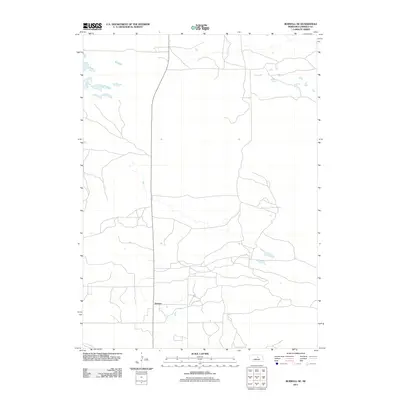
1952 Burwell NE
Garfield County, NE
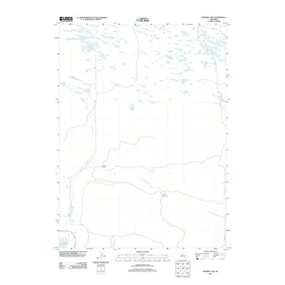
1952 Burwell NW
Garfield County, NE
1952 Burwell SE
Garfield County, NE
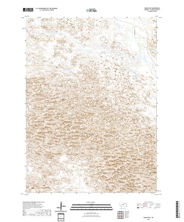
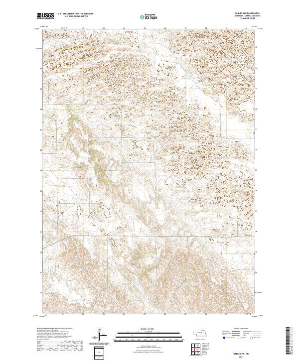
1954 Gables
Garfield County, NE
1954 Gables NW
Garfield County, NE
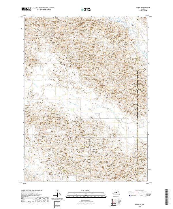
1954 Gables SE
Garfield County, NE
1954 Gables SW
Garfield County, NE
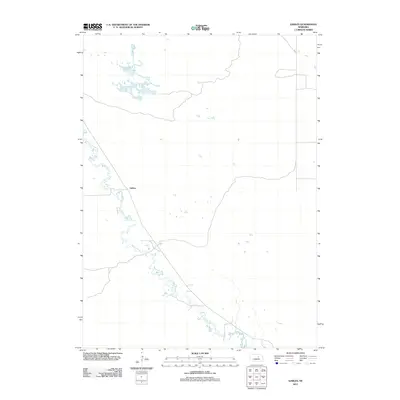
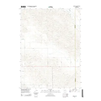
1981 Abbott Ranch
Garfield County, NE
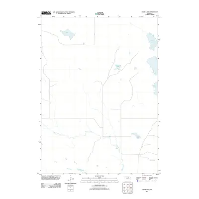
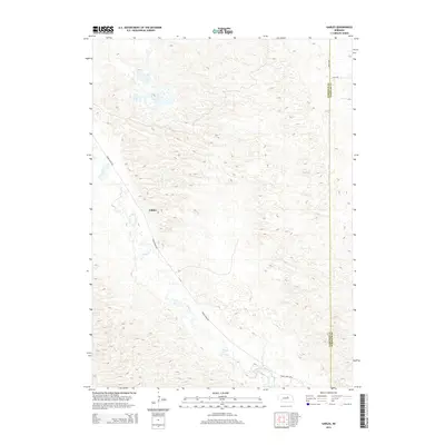
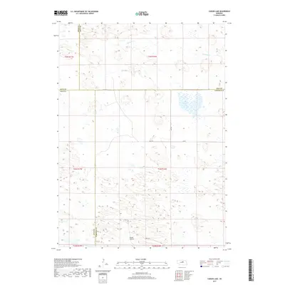
1981 Carson Lake
Garfield County, NE
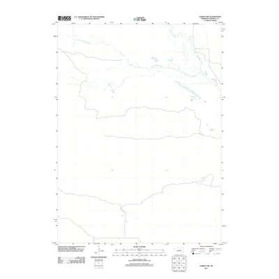
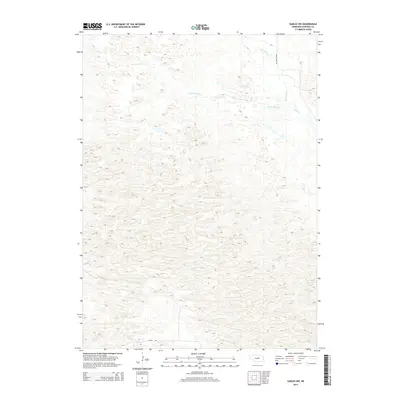
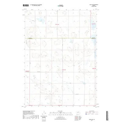
1981 Chain Lake
Garfield County, NE
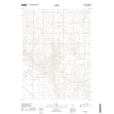
1981 Miles Ranch
Garfield County, NE
2011 Abbott Ranch
Garfield County, NE
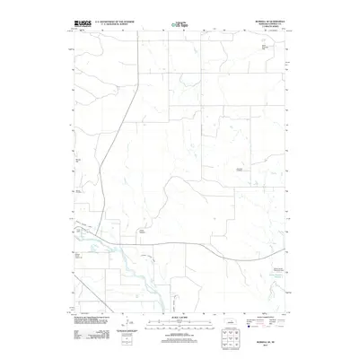
2011 Burwell NE
Garfield County, NE
2011 Burwell NW
Garfield County, NE
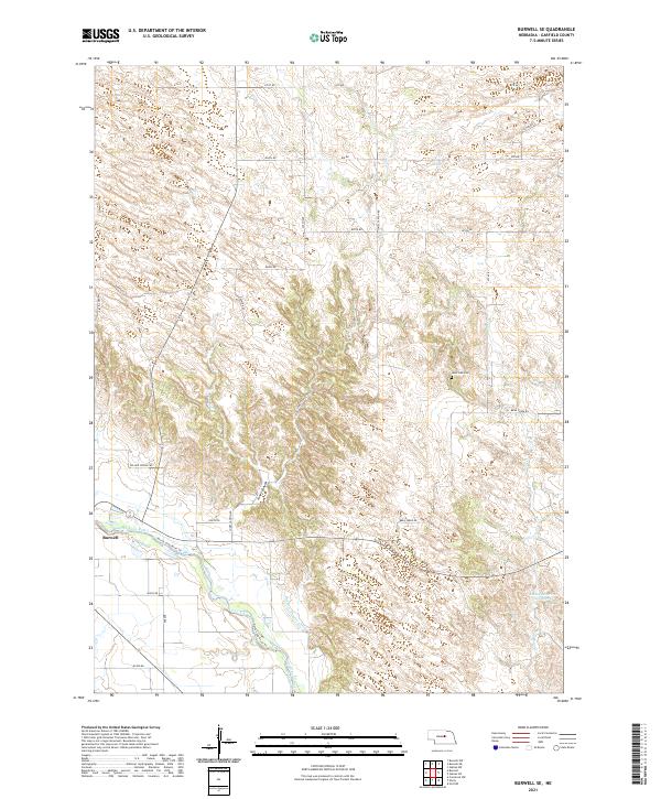
2011 Burwell SE
Garfield County, NE
2011 Carson Lake
Garfield County, NE
2011 Chain Lake
Garfield County, NE
2011 Gables
Garfield County, NE
2011 Gables NW
Garfield County, NE
2011 Gables SE
Garfield County, NE
2011 Gables SW
Garfield County, NE
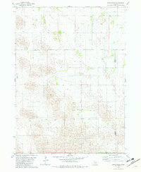
2011 Miles Ranch
Garfield County, NE
2014 Abbott Ranch
Garfield County, NE
2014 Burwell NE
Garfield County, NE
2014 Burwell NW
Garfield County, NE
2014 Burwell SE
Garfield County, NE
2014 Carson Lake
Garfield County, NE
2014 Chain Lake
Garfield County, NE
2014 Gables
Garfield County, NE
2014 Gables NW
Garfield County, NE
2014 Gables SE
Garfield County, NE
2014 Gables SW
Garfield County, NE
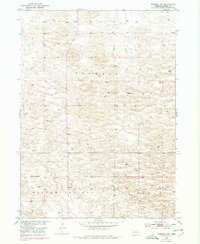
2014 Miles Ranch
Garfield County, NE
2017 Abbott Ranch
Garfield County, NE
2017 Burwell NE
Garfield County, NE
2017 Burwell NW
Garfield County, NE
2017 Burwell SE
Garfield County, NE
2017 Carson Lake
Garfield County, NE
2017 Chain Lake
Garfield County, NE
2017 Gables
Garfield County, NE
2017 Gables NW
Garfield County, NE
2017 Gables SE
Garfield County, NE
2017 Gables SW
Garfield County, NE
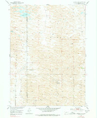
2017 Miles Ranch
Garfield County, NE
2021 Abbott Ranch
Garfield County, NE
2021 Burwell NE
Garfield County, NE
2021 Burwell NW
Garfield County, NE
2021 Burwell SE
Garfield County, NE
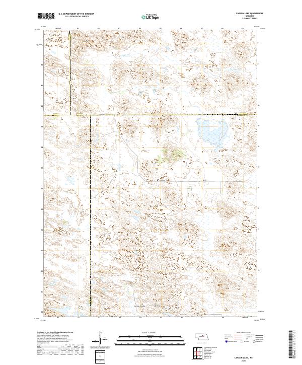
2021 Carson Lake
Garfield County, NE
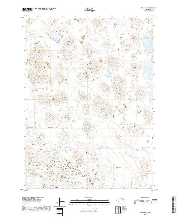
2021 Chain Lake
Garfield County, NE
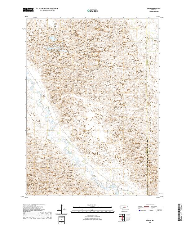
2021 Gables
Garfield County, NE
2021 Gables NW
Garfield County, NE
2021 Gables SE
Garfield County, NE
2021 Gables SW
Garfield County, NE
2021 Miles Ranch
Garfield County, NE