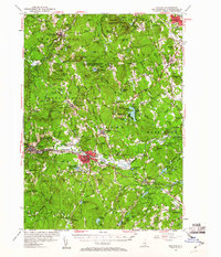
1953 Map of Milford
USGS Topo · Published 1960About this map
The Souhegan River carves through the heart of this mid-century landscape, anchoring the industrial and residential core of Milford and Wilton. In the years following World War II, the region maintained a balance between its deep-rooted agricultural character and emerging institutional presence, seen in the hilltop campus of St Anselms College near Pinardville and the High Mowing Sch to the southwest. The terrain is defined by a series of named elevations like Joe English Hill and the Uncanoonuc Mountains, which overlook a mix of recreation and military activity, including the U S Military Reservation Air Force Bombing Range.
Find a feature on this map
173 named features on this map. Tap any name to fly to it.
Don’t see what you’re looking for? This feature index may not catch every label — zoom into the map to look around manually.
Map Details
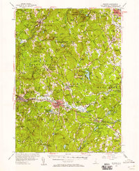
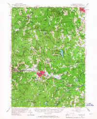
Editions of this 1953 Milford Map
3 editions found
Other maps of this area

1886 · Lowell
USGS Topo · 1:62,500

1887 · Fitchburg
USGS Topo · 1:62,500

1889 · Fitchburg
USGS Topo · 1:62,500

1893 · Lowell
USGS Topo · 1:62,500

1893 · Fitchburg
USGS Topo · 1:62,500

1893 · Groton
USGS Topo · 1:62,500

1900 · Peterboro
USGS Topo · 1:62,500

1905 · Manchester
USGS Topo · 1:62,500

1906 · Milford
USGS Topo · 1:62,500

1918 · Lowell
USGS Topo · 1:62,500