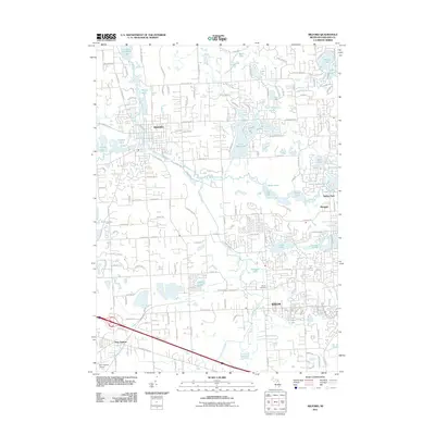
2011 Map of Milford
USGS Topo · Published 2011About this map
The Huron River and its glacial lakes define this portion of Oakland County, where suburban development meets protected recreation areas. The village of Milford sits at the northern end of Hubbell Pond, while the city of Wixom anchors the southern portion of the sheet. Between them, the landscape is heavily influenced by the drainage of Norton Creek and Pettibone Creek, which feed into the large expanses of Kent Lake and Proud Lake. These water bodies are central to the region's character, providing significant green space amidst the expanding residential grids of Glengary and Oakley Park.
Find a feature on this map
151 named features on this map. Tap any name to fly to it.
Don’t see what you’re looking for? This feature index may not catch every label — zoom into the map to look around manually.
Map Details
Editions of this 2011 Milford Map
This is the sole edition of this map. No revisions or reprints were ever made.
Other maps of this area

1902 · South Lyon
USGS Topo · 1:62,500

1904 · Ann Arbor
USGS Topo · 1:125,000

1905 · Wayne
USGS Topo · 1:62,500

1906 · South Lyon
USGS Topo · 1:62,500

1907 · Pontiac
USGS Topo · 1:62,500

1908 · Ann Arbor
USGS Topo · 1:125,000

1909 · Milford
USGS Topo · 1:62,500

1912 · Wayne
USGS Topo · 1:62,500

1936 · Wixom
USGS Topo · 1:31,680

1936 · Highland
USGS Topo · 1:31,680
Featured Places
- Novi, MI
- Commerce Charter Township, MI
- White Lake Charter Township, MI
- Lyon Charter Township, MI
- Highland Charter Township, MI