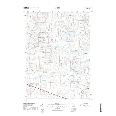
2019 Map of Milford
USGS Topo · Published 2019About this map
The Huron River winds through this Oakland County landscape, anchoring a series of recreation areas and expanding residential communities. Milford sits at the confluence of northern waterways, where Hubbell Pond and the Milford Memorial Cem define the local geography. To the south, the city of Wixom and the western edge of Novi show the results of late 20th-century suburban development, yet large tracts of land remain preserved.
Find a feature on this map
148 named features on this map. Tap any name to fly to it.
Don’t see what you’re looking for? This feature index may not catch every label — zoom into the map to look around manually.
Map Details
Editions of this 2019 Milford Map
This is the sole edition of this map. No revisions or reprints were ever made.
Other maps of this area

1902 · South Lyon
USGS Topo · 1:62,500

1904 · Ann Arbor
USGS Topo · 1:125,000

1905 · Wayne
USGS Topo · 1:62,500

1906 · South Lyon
USGS Topo · 1:62,500

1907 · Pontiac
USGS Topo · 1:62,500

1908 · Ann Arbor
USGS Topo · 1:125,000

1909 · Milford
USGS Topo · 1:62,500

1912 · Wayne
USGS Topo · 1:62,500

1936 · Wixom
USGS Topo · 1:31,680

1936 · Highland
USGS Topo · 1:31,680
Featured Places
- Novi, MI
- Commerce Charter Township, MI
- White Lake Charter Township, MI
- Lyon Charter Township, MI
- Highland Charter Township, MI