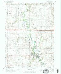
1964 Map of Milford
USGS Topo · Published 1965About this map
The Big Blue River meanders through this portion of Seward County, anchoring the town of Milford and the nearby settlement of Ruby. The landscape is defined by the heavy presence of the Chicago Burlington and Quincy railroad, which parallels the river valley, serving the agricultural and institutional needs of the region. This mid-1960s survey documents a significant infrastructure shift as Interstate 80 is noted as under construction, cutting a modern path across the traditional township grids.
Find a feature on this map
36 named features on this map. Tap any name to fly to it.
Don’t see what you’re looking for? This feature index may not catch every label — zoom into the map to look around manually.
Map Details
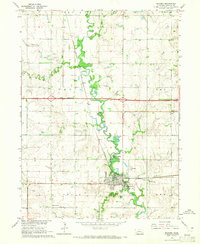
Editions of this 1964 Milford Map
2 editions found
Other maps of this area

1897 · Lincoln
USGS Topo · 1:125,000

1934 · Seward
USGS Topo · 1:48,000

1935 · Dorchester
USGS Topo · 1:48,000

1939 · Seward
USGS Topo · 1:62,500

1940 · Dorchester
USGS Topo · 1:62,500

1955 · Lincoln
USGS Topo · 1:250,000

1957 · Lincoln
USGS Topo · 1:250,000

1958 · Lincoln
USGS Topo · 1:250,000
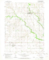
1964 · Staplehurst
USGS Topo · 1:24,000
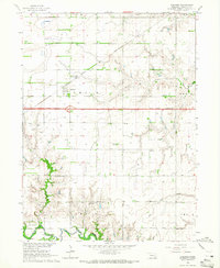
1964 · Goehner
USGS Topo · 1:24,000