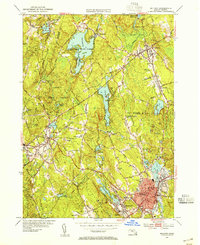
1953 Map of Milford
USGS Topo · Published 1955About this map
Milford serves as the industrial and residential hub of this Worcester County landscape, situated where the New York New Haven and Hartford RR meets the waters of Cedar Swamp Pond. In the mid-1950s, the area reflects a balance of growing municipal density and preserved woodlands, including the extensive Upton State Forest and Whitehall State Forest. Traces of the local economy are evident in the numerous quarries near Rocky Woods Range and the National Guard Rifle Range north of the city center. To the west, the village of Upton sits between Pratt Hill and Pratt Pond, while Westboro Reservoir and Whitehall Reservoir define the northern hydrology. For those searching for family history, several prominent landmarks are noted, including the County Home near Craddock Pond and the Vernon Grove Cem in the southern reaches of Milford.
Find a feature on this map
92 named features on this map. Tap any name to fly to it.
Don’t see what you’re looking for? This feature index may not catch every label — zoom into the map to look around manually.
Map Details
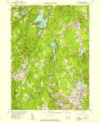
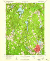
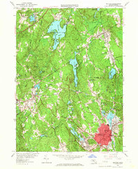
Editions of this 1953 Milford Map
4 editions found
Other maps of this area

1886 · Blackstone
USGS Topo · 1:62,500

1886 · Framingham
USGS Topo · 1:62,500

1887 · Franklin
USGS Topo · 1:62,500

1887 · Marlboro
USGS Topo · 1:62,500

1889 · Marlboro
USGS Topo · 1:62,500

1889 · Blackstone
USGS Topo · 1:62,500

1889 · Franklin
USGS Topo · 1:62,500

1889 · Framingham
USGS Topo · 1:62,500

1893 · Franklin
USGS Topo · 1:62,500

1893 · Blackstone
USGS Topo · 1:62,500