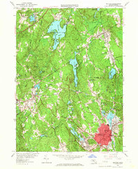
1953 Map of Milford
USGS Topo · Published 1966About this map
Milford and its surrounding manufacturing centers appear in detail during the early 1950s, showing a landscape defined by industrial waterpower and extensive state-managed forests. The industrial core of the Mill River valley is anchored by Hopedale and the dense settlement around Cedar Swamp Pond, while the northern reaches remain heavily forested within the Whitehall State Forest and Hopkinton State Park. The influence of the New York New Haven and Hartford RR is evident as it connects these industrial hubs, passing near the National Guard Rifle Range and several local granite quarries. Local heritage is well-preserved through numerous burial grounds like Evergreen Cem and Pine Grove Cem, and social history is marked by the presence of the County Home and the Wildlife Research Center. The map captures a transitional moment as the Massachusetts turnpike was introduced to the northern edge of Westboro, signaling the shift toward the modern highway era.
Find a feature on this map
74 named features on this map. Tap any name to fly to it.
Don’t see what you’re looking for? This feature index may not catch every label — zoom into the map to look around manually.
Map Details
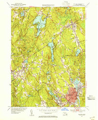
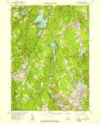
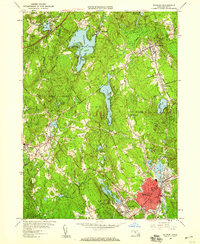
Editions of this 1953 Milford Map
4 editions found
Other maps of this area

1886 · Blackstone
USGS Topo · 1:62,500

1886 · Framingham
USGS Topo · 1:62,500

1887 · Franklin
USGS Topo · 1:62,500

1887 · Marlboro
USGS Topo · 1:62,500

1889 · Marlboro
USGS Topo · 1:62,500

1889 · Blackstone
USGS Topo · 1:62,500

1889 · Franklin
USGS Topo · 1:62,500

1889 · Framingham
USGS Topo · 1:62,500

1893 · Franklin
USGS Topo · 1:62,500

1893 · Blackstone
USGS Topo · 1:62,500