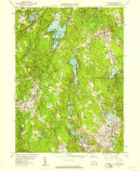
1953 Map of Milford
USGS Topo · Published 1958About this map
Milford serves as the industrial and population anchor of this mid-century survey, its streets radiating toward surrounding townships across the Worcester and Middlesex county line. The landscape is defined by its water management and early-century transit infrastructure, featuring the sprawling Whitehall Reservoir and the New York Central railroad corridor. Near the village of Woodville, the Whitehall State Forest preserves a substantial woodland tract, while smaller settlements like Hayden Row and Hopedale maintain distinct residential patterns. Local topography is marked by named summits such as Christian Hill and Silver Hill, which overlook a network of industrial remnants including several quarries and a gravel pit near Cedar Swamp Pond. Notable civic and social landmarks of the era include the County Home and the National Guard Rifle Range, reflecting the local government's footprint during the 1950s.
Find a feature on this map
58 named features on this map. Tap any name to fly to it.
Don’t see what you’re looking for? This feature index may not catch every label — zoom into the map to look around manually.
Map Details
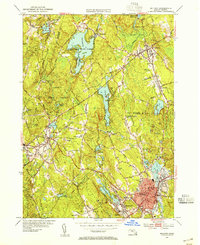
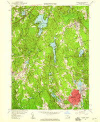
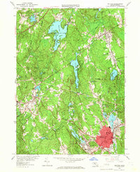
Editions of this 1953 Milford Map
4 editions found
Other maps of this area

1886 · Blackstone
USGS Topo · 1:62,500

1886 · Framingham
USGS Topo · 1:62,500

1887 · Franklin
USGS Topo · 1:62,500

1887 · Marlboro
USGS Topo · 1:62,500

1889 · Marlboro
USGS Topo · 1:62,500

1889 · Blackstone
USGS Topo · 1:62,500

1889 · Franklin
USGS Topo · 1:62,500

1889 · Framingham
USGS Topo · 1:62,500

1893 · Franklin
USGS Topo · 1:62,500

1893 · Blackstone
USGS Topo · 1:62,500