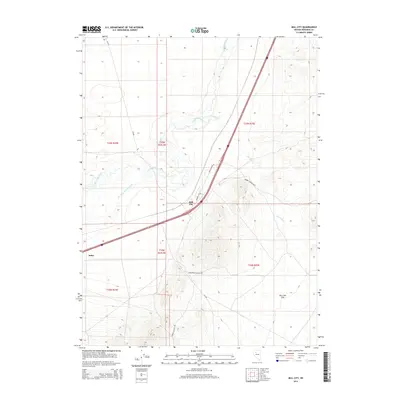
2014 Map of Mill City
USGS Topo · Published 2014About this map
Mill City and Imlay serve as the primary hubs in this Pershing County landscape, situated where the high desert meets the vital corridor of the Humboldt River. The map illustrates a complex relationship between the natural watercourse and human engineering, most notably seen in the Pitt-Taylor Diversion Canal which cuts across the basin. To the east, the terrain rises sharply toward Bunker Hill, with several canyon access routes including Stonehouse Canyon Rd and Barber Canyon Rd threading into the upland areas. This 2014 survey documents the modern infrastructure of the region, where historical transport routes follow the natural drainage of the Dun Glen Cr and open out onto the broad expanse of Dun Glen Flat. The transition from the river valley to the steep canyon roads highlights the geographic challenges of settlement in this part of northern Nevada.
Find a feature on this map
17 named features on this map. Tap any name to fly to it.
Don’t see what you’re looking for? This feature index may not catch every label — zoom into the map to look around manually.
Map Details
Editions of this 2014 Mill City Map
This is the sole edition of this map. No revisions or reprints were ever made.
Other maps of this area

1931 · Lovelock
USGS Topo · 1:250,000

1932 · Sonoma Range
USGS Topo · 1:250,000

1935 · Lovelock
USGS Topo · 1:250,000

1939 · Sonoma Range
USGS Topo · 1:250,000

1939 · Eugene Mountains Area
USGS Topo · 1:62,500

1942 · Eugene Mountains Area
USGS Topo · 1:62,500

1955 · Lovelock
USGS Topo · 1:250,000

1955 · Winnemucca
USGS Topo · 1:250,000

1956 · Imlay
USGS Topo · 1:62,500

1958 · Winnemucca
USGS Topo · 1:250,000