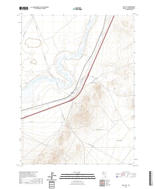
2021 Map of Mill City
USGS Topo · Published 2021About this map
Mill City serves as a central hub in this high-desert landscape of Pershing County, situated where modern transport routes intersect with the traces of historical transit. The western portion of the map is defined by the Humboldt River, while the eastern expanses lead into the broad terrain of Dun Glen Flat. The infrastructure here reveals a complex layering of Nevada's history, from the early tracks of the Old Idaho Stage Rd to the industrial utility of Tungsten Rd and Tungsten Dr. This network of roads, including Dun Glen Rd and Barber Canyon Rd, reflects the region's historical ties to mining and ranching, with the Willow Creek Ranch Rd pushing into the foothills. The presence of multiple canyon roads indicates a landscape heavily utilized for resource extraction and livestock transit, hallmarks of the Great Basin economy.
Find a feature on this map
21 named features on this map. Tap any name to fly to it.
Don’t see what you’re looking for? This feature index may not catch every label — zoom into the map to look around manually.
Map Details
Editions of this 2021 Mill City Map
This is the sole edition of this map. No revisions or reprints were ever made.
Other maps of this area

1931 · Lovelock
USGS Topo · 1:250,000

1932 · Sonoma Range
USGS Topo · 1:250,000

1935 · Lovelock
USGS Topo · 1:250,000

1939 · Sonoma Range
USGS Topo · 1:250,000

1939 · Eugene Mountains Area
USGS Topo · 1:62,500

1942 · Eugene Mountains Area
USGS Topo · 1:62,500

1955 · Lovelock
USGS Topo · 1:250,000

1955 · Winnemucca
USGS Topo · 1:250,000

1956 · Imlay
USGS Topo · 1:62,500

1958 · Winnemucca
USGS Topo · 1:250,000