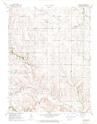
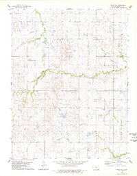
1953 Map of Mill Creek
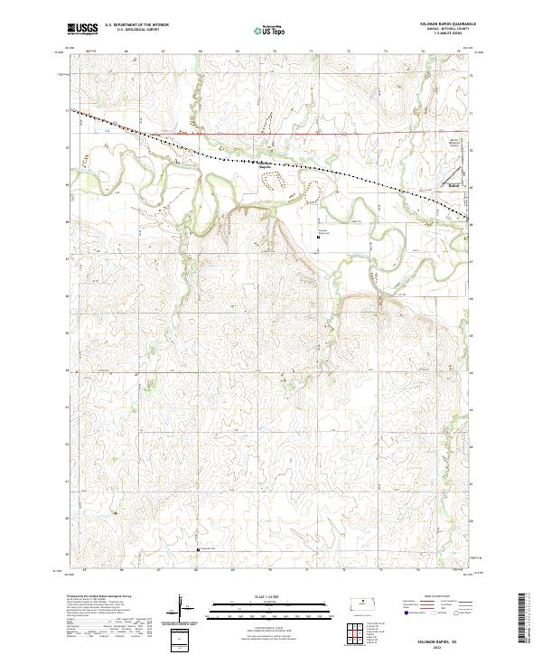
USGS Topo · Published 1986About this map
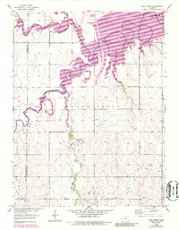
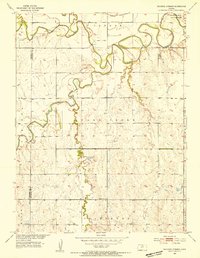
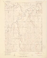
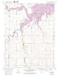
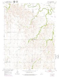
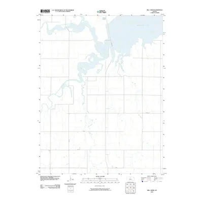
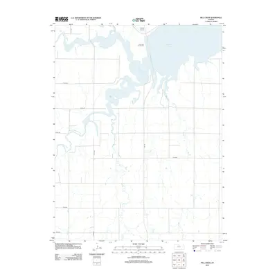
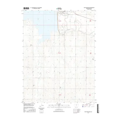
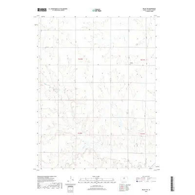
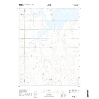
The South Fork Solomon River defines the northern reaches of this Mitchell County landscape, shown here as it transitioned through late 1970s revisions. A prominent natural landmark, the Great Spirit Spring, sits just south of the Cawker City boundary, indicating the area's long-standing geological and cultural significance. The map captures the rural organization of several townships, including portions of Pittsburg, Bloom, and Hayes, where the section lines dictate the movement of local roads across the drainages of Carr Creek and Mill Creek.
Find a feature on this map
12 named features on this map. Tap any name to fly to it.
Don’t see what you’re looking for? This feature index may not catch every label — zoom into the map to look around manually.
Map Details
Editions of this 1953 Mill Creek Map
4 editions found
Historical Maps of Osborne County Through Time
42 maps found
1952 Glasco SW
Mitchell County, KS
1953 Glen Elder South
Mitchell County, KS
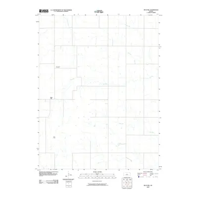
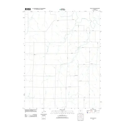
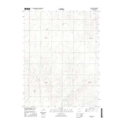
1953 Mill Creek
Mitchell County, KS
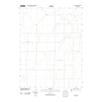
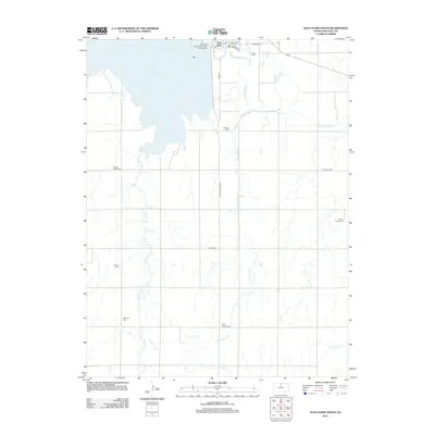
1953 Solomon Rapids
Mitchell County, KS
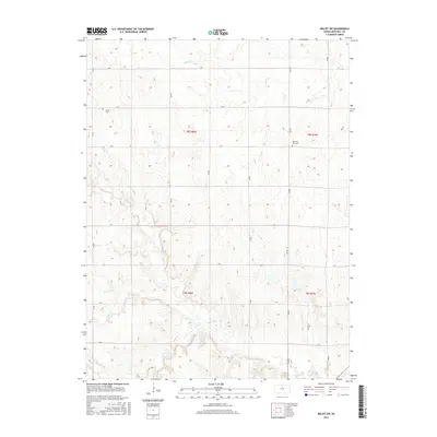
1964 Beloit SE
Mitchell County, KS
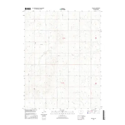
1968 Beloit SW
Mitchell County, KS
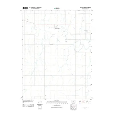
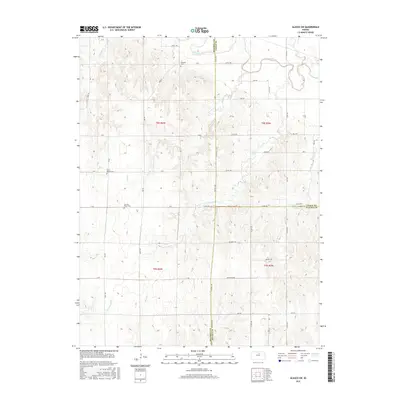
1978 Blue Hill
Mitchell County, KS
2009 Beloit SE
Mitchell County, KS
2009 Beloit SW
Mitchell County, KS
2009 Blue Hill
Mitchell County, KS
2009 Glasco SW
Mitchell County, KS
2009 Mill Creek
Mitchell County, KS
2009 Solomon Rapids
Mitchell County, KS
2010 Glen Elder South
Mitchell County, KS
2012 Beloit SE
Mitchell County, KS
2012 Beloit SW
Mitchell County, KS
2012 Blue Hill
Mitchell County, KS
2012 Glasco SW
Mitchell County, KS
2012 Glen Elder South
Mitchell County, KS
2012 Mill Creek
Mitchell County, KS
2012 Solomon Rapids
Mitchell County, KS
2015 Beloit SE
Mitchell County, KS
2015 Beloit SW
Mitchell County, KS
2015 Blue Hill
Mitchell County, KS
2015 Glasco SW
Mitchell County, KS
2015 Glen Elder South
Mitchell County, KS
2015 Mill Creek
Mitchell County, KS
2015 Solomon Rapids
Mitchell County, KS
2018 Beloit SE
Mitchell County, KS
2018 Beloit SW
Mitchell County, KS
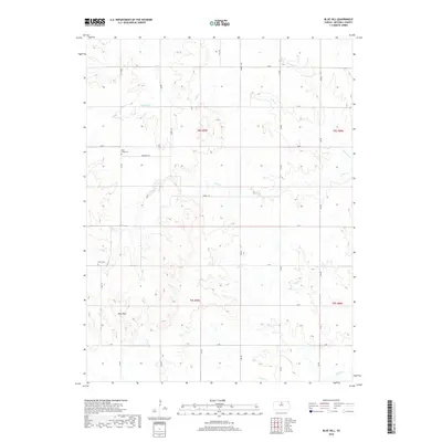
2018 Blue Hill
Mitchell County, KS
2018 Glasco SW
Mitchell County, KS
2018 Glen Elder South
Mitchell County, KS
2018 Mill Creek
Mitchell County, KS
2018 Solomon Rapids
Mitchell County, KS
2022 Beloit SE
Mitchell County, KS
2022 Beloit SW
Mitchell County, KS
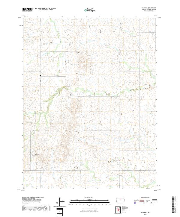
2022 Blue Hill
Mitchell County, KS
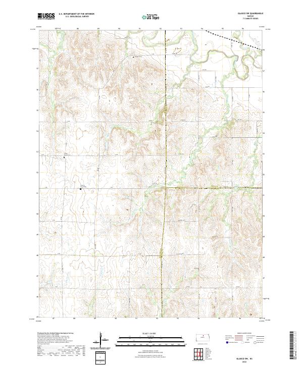
2022 Glasco SW
Mitchell County, KS
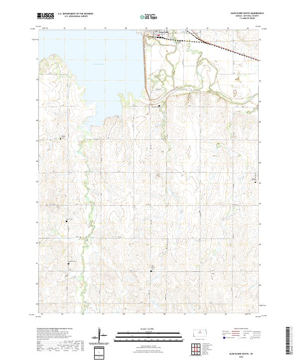
2022 Glen Elder South
Mitchell County, KS
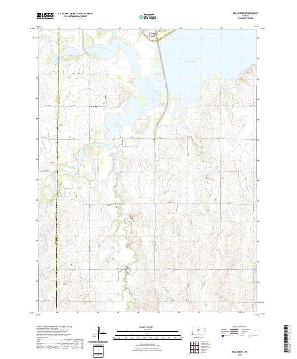
2022 Mill Creek
Mitchell County, KS
2022 Solomon Rapids
Mitchell County, KS